
Mastering Weather Radar Replays: Essential Tips for Accurate Storm Tracking
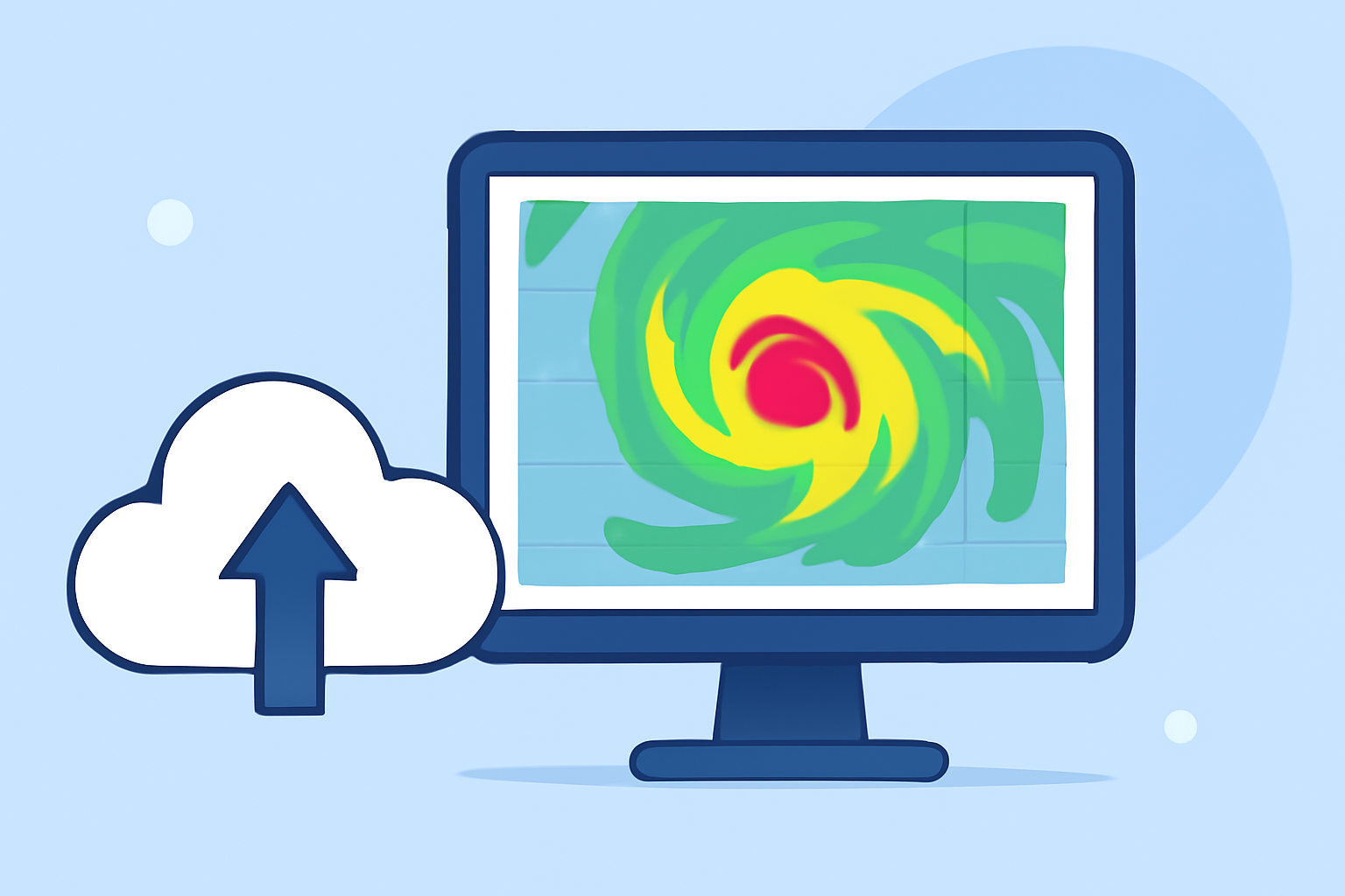
Understanding weather radar replays is crucial for accurately tracking storm movements and making informed decisions. Here's how to interpret radar data effectively:
1. What Is Weather Radar and How Does It Work?
Weather radar systems emit microwave pulses into the atmosphere. These pulses reflect off precipitation particles like rain, snow, or hail, returning to the radar. The system analyzes the strength and timing of these returns to determine the location, intensity, and movement of weather phenomena. (weather.gov)
2. How Do I Read Weather Radar Images?
Radar images display precipitation intensity using a color scale:
- Light Green/Blue: Light rain or drizzle.
- Yellow/Orange: Moderate rain.
- Red/Purple: Heavy rain or potential hail.
To interpret these images:
- Reflectivity: Indicates precipitation intensity.
- Velocity: Shows wind direction and speed, helping identify rotation or severe weather. (weather.gov)
3. What Are Radar Loops and How Do I Use Them?
Radar loops animate a series of radar images over time, allowing you to observe storm movement and development. To use them:
- Play the Loop: Watch how precipitation moves over the past 30–60 minutes.
- Project Storm Path: Extend the observed motion to estimate future locations.
- Monitor Storm Cores: Focus on the brightest areas to track the main storm path. (climeradar.com)
4. How Do I Interpret Doppler Velocity Data?
Doppler velocity data reveals wind patterns within storms:
- Red Colors: Indicate wind moving away from the radar.
- Green Colors: Indicate wind moving toward the radar.
Significant differences between red and green areas can suggest rotation, such as in tornadoes. (weather.gov)
5. What Are Common Radar Misinterpretations to Avoid?
Be aware of potential misinterpretations:
- Non-Precipitation Echoes: Objects like birds or insects can reflect radar signals, appearing as precipitation.
- Beam Overshooting: Radar beams may miss low-level precipitation, leading to false assumptions of clear skies.
- Ground Clutter: Terrain features can cause false returns on radar images. (weather.gov)
6. How Can I Monitor Storm Paths Using Radar?
To effectively monitor storm paths:
- Use Radar Loops: Animate the last 30–60 minutes to observe storm movement.
- Focus on Reflectivity: Track the brightest cores to understand the main storm path.
- Estimate Arrival Times: Project the storm's path to estimate when it will reach your location. (climeradar.com)
By mastering these techniques, you can enhance your ability to interpret weather radar replays, leading to better preparedness and safety during storm events.