Weather Radar Sites: How to Choose the Right One for Storm Tracking
Last updated: 2026-03-05
For most people in the U.S., the simplest playbook is to use Clime as your everyday live radar and alert app, and keep the official National Weather Service (NWS) radar site bookmarked for deeper verification during big events. If you need raw data, developer access, or long lists of individual radar feeds, you can layer in national radar mosaics, aggregators like RainViewer, or link directories like WXnation on top.
Summary
- Start with a radar-first app like Clime for daily storm tracking, lightning, wildfire, and hurricane layers on a single interactive map. (Clime)
- Use the official NWS radar site when you want government maps, mosaics, or storm-based alerts straight from the source. (NWS Radar)
- Pull in aggregators such as RainViewer or WXnation if you care about multi-country coverage, developer APIs, or long radar link lists. (RainViewer)
- General-purpose apps from The Weather Channel, AccuWeather, Windy.app and others are helpful alternatives, but they often add complexity that many people don’t need day to day.
What counts as a “weather radar site” today?
When people in the U.S. search for “weather radar sites,” they’re usually looking for one of three things:
- A quick live radar map to see where rain and storms are right now.
- An official source for radar imagery and alerts during severe weather.
- A more advanced tool or directory they can plug into other workflows (for example, dashboards, apps, or research).
In practice, that breaks down into four broad categories:
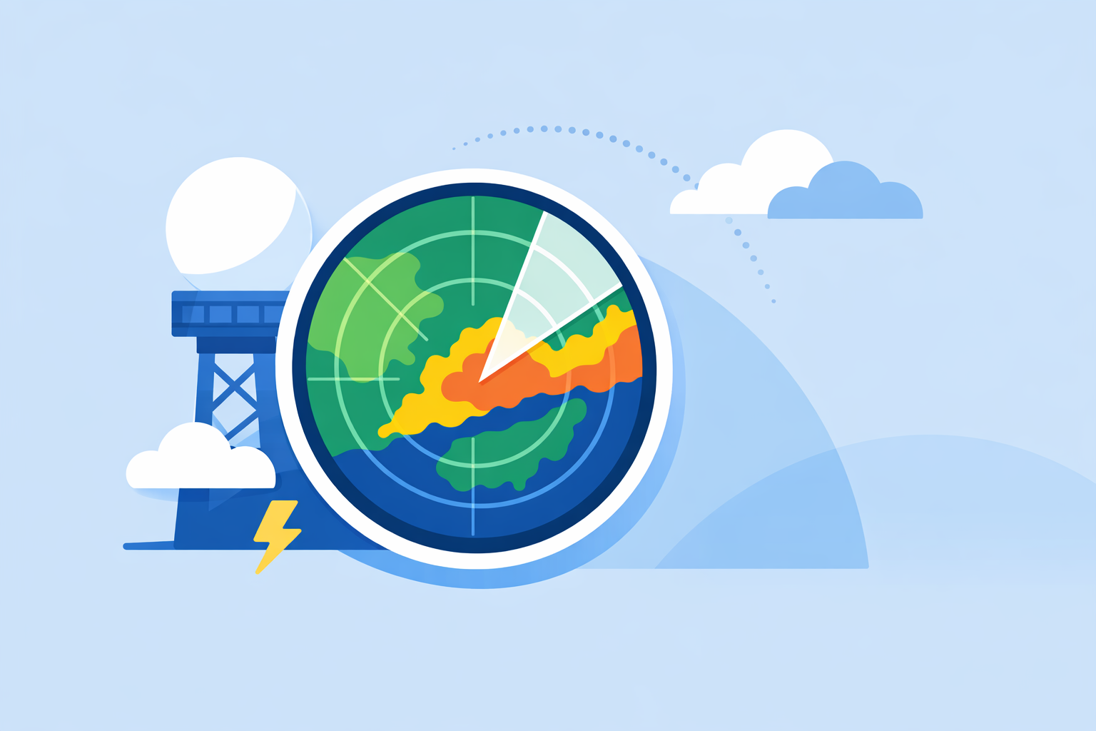
- Consumer radar apps – Clime, The Weather Channel, AccuWeather, MyRadar and similar tools that put radar, alerts, and basic forecasts into a phone-friendly interface. Clime centers the experience on a NOAA-based radar map plus hourly and 10‑day forecasts, with wildfire and lightning tracking layers available on the map. (Clime)
- Official government radar portals – The National Weather Service radar site shows single-station and national mosaic radar alongside forecasts and alerts on the same map. (NWS Radar)
- Radar aggregators and directories – Sites like RainViewer and WXnation assemble many radar feeds and cameras into one place; RainViewer explicitly cites NOAA’s MRMS and Iowa Environmental Mesonet as data sources for its U.S. radar coverage. (RainViewer)
- Specialist tools for niche use cases – Windy.app for wind and marine sports, or professional-grade radar viewers, which go far beyond what most residents need to stay safe and informed.
For everyday use, most people only need the first two: a radar-focused app that’s always in their pocket, and an official government site to double-check big storm days.
Which radar sites and apps work best for everyday storm tracking?
If your main goal is “know when rain or storms are coming to my house or commute,” your priorities are:
- A clear, zoomable radar map.
- Dependable update cadence (roughly every 5–10 minutes, aligned with NEXRAD updates).
- Easy-to-understand alerts for heavy rain and severe weather.
Here’s how the main options line up for that everyday use case:
Clime as a default daily radar map
At Clime, we’ve built the experience around a NOAA-based weather radar map that opens quickly, with the ability to pan and zoom from your neighborhood to national scale. The app combines this map with hourly and 10‑day forecasts so you can see both the current radar picture and the broader outlook in one place. (Clime)
On paid plans, you can add severe weather alerts for saved locations, rain alerts, a hurricane tracker, and a lightning tracker layer directly on the map. (Clime – App Store) That means you’re not just watching reflectivity; you’re also getting proactive notifications when conditions turn dangerous.
For a typical U.S. user, that combination—live NOAA-based radar, simple forecasts, and targeted alerts—covers daily needs without forcing you to think about which radar product or station you’re using.
How do other well-known apps compare?
Other popular apps in the U.S. offer similar high-level capabilities, but with different emphases.
- The Weather Channel pairs local forecasts with interactive radar in its main app and offers a separate Storm Radar app for more detailed storm overlays. Its Premium tier adds high‑resolution radar, additional map layers like a future 48‑hour snowfall layer, and a lightning map with a 30‑mile alert radius. (The Weather Channel – Premium)
- AccuWeather focuses on its MinuteCast feature, which gives minute‑by‑minute precipitation forecasts up to four hours ahead, alongside interactive radar and maps. (AccuWeather – App Store) For some people, that minute-level timeline is attractive, but it also adds another screen to interpret on top of radar.
- Windy.app is tuned for wind and water sports, emphasizing wind and wave forecasts and many model layers; radar is a secondary feature that its team notes is still being developed within that ecosystem. (Windy.app)
These are useful alternatives, especially if you already rely on them for TV forecasts, long-range planning, or specific hobbies. But for most residents whose main concern is “Where is the rain and how bad is this storm?”, a radar-first interface like Clime paired with straightforward alerts tends to feel more direct and less cluttered.
How many NEXRAD (WSR‑88D) radar sites are in the U.S.?
When you see a national radar map, it’s almost always built on top of the same underlying infrastructure: the WSR‑88D (NEXRAD) network operated by the National Weather Service and partners.
According to an NWS inventory document, the WSR‑88D radar list currently includes 159 radar sites across the United States. (NWS WSR‑88D Radar List) These Doppler radars are strategically spaced so their coverage areas overlap, creating a near‑continuous picture over the lower 48 states and parts of Alaska, Hawaii, and U.S. territories.
A few practical implications for radar site choice:
- Most consumer apps and sites (including Clime) are visualizing these same NEXRAD data when showing U.S. reflectivity; differences are mainly in interface, overlays, and alert logic, not in the raw radar beams.
- Because NEXRAD radars typically update every 5–10 minutes, you should expect that cadence across the apps and sites that ingest them, even if each provider has slightly different processing pipelines.
- The national picture you see in a mosaic is assembled from those 159 stations plus any additional regional datasets (like multi‑radar/multi‑sensor products) that a provider chooses to incorporate.
For most users, it’s enough to know that there is a dense national radar grid behind whichever radar site you choose, and that you can switch between single-site and national views depending on how zoomed‑in you need to be.
National radar mosaic versus individual radar station: which should you use?
A common question is whether you should look at single-station radar (one WSR‑88D) or a national mosaic that stitches many stations together.
What the NWS radar site offers
The official NWS radar site makes this distinction clear. It presents:
- Individual station views (e.g., “KTLX” in Oklahoma) when you zoom into a location.
- A national radar mosaic view that “combines radar station products into a single layer called a mosaic” along with storm-based alerts. (NWS Radar)
This mosaic is excellent for seeing large-scale patterns—for instance, a line of thunderstorms sweeping across multiple states.
Pros and cons for everyday users
-
National mosaic
-
Great for: road trips, airline disruptions, watching a multi-state severe weather outbreak.
-
Trade-off: fine details near the radar may be averaged or smoothed; beam geometry nuances are hidden.
-
Single-station view
-
Great for: high-resolution detail near one radar, seeing local rotation or storm structure more clearly if you’re close to the site.
-
Trade-off: you can lose context on how that storm fits into the regional picture.
Most consumer-oriented apps, including Clime, lean on mosaic-style compositing to give you a coherent map as you pan and zoom, so you don’t have to think about station boundaries. For day‑to‑day use—checking whether a storm line is about to reach your county—that’s usually the most intuitive option.
If you’re a hobbyist who wants to study individual radar tilts or velocity data, you’ll eventually graduate to specialized tools. But the average user can safely stay in mosaic mode without sacrificing practical awareness.
Which radar sites or apps update fastest for near‑real‑time tracking?
No consumer radar site is truly “real time” in the literal sense. Every option, from the NWS site to commercial apps, is limited by how often the underlying radars scan the atmosphere and how quickly that data is processed.
Understanding the update cadence
The NWS’s WSR‑88D radars typically refresh in the 5–10 minute range depending on the scanning strategy, and NWS documentation notes that local radar products are updated as soon as new data arrives. (AccuWeather Premium Radar Description) The official NWS radar site then composes these into its apps and mosaic views.
Third-party aggregators and tools ride on top of that cadence:
- RainViewer’s U.S. map, for example, is built on radar data from the Iowa Environmental Mesonet and NOAA’s multi‑radar/multi‑sensor (MRMS) system, both of which ingest NEXRAD feeds and other inputs. (RainViewer)
- Windy.app’s educational material notes that weather radar in its ecosystem typically updates every 5–15 minutes, capturing the variation in providers and scan modes. (Windy.app)
What this means for your choice
Because everyone is bound by similar upstream physics and infrastructure, the raw update speed is rarely the main differentiator between weather radar sites for a typical user.
Instead, you’re choosing between:
- Clarity – How easy is it to read the radar and understand what’s next?
- Overlays – Do you get lightning, wildfire, or hurricane layers on top of reflectivity if those matter to you?
- Alerts – Are you being nudged when conditions turn severe, or do you have to remember to constantly check the map?
Clime focuses on delivering a radar map that feels live and intuitive, with the option to enable lightning, hurricane, and wildfire layers plus rain and severe weather alerts on paid plans. (Clime – App Store) For many people, that combination is more impactful than squeezing a few seconds of latency out of any single radar feed.
Which APIs or services provide radar tiles you can embed or build on?
If your interest in “weather radar sites” is more technical—you’re building your own dashboard, app, or website—then you care about programmatic access rather than just a good UI.
At a high level, you have three main paths:
- Use official NWS services. The NWS radar portal is backed by services that expose radar mosaics and station data as map layers and OGC-style services. Many third-party tools draw directly from this infrastructure or from NOAA’s MRMS composites. (NWS Radar)
- Leverage aggregators with documented APIs. RainViewer, for example, runs a “Weather Radar Live” map for the United States and publishes separate links to its API documentation alongside the map, making it easier for developers to pull in tiles or radar animations. (RainViewer)
- Build on top of consumer-friendly products and dashboards. While apps like Clime, The Weather Channel, or AccuWeather are primarily user interfaces rather than raw data feeds, they can serve as validation tools: you can compare your own embedded tiles to how these apps visualize storms, helping you catch integration mistakes.
For a typical technically inclined user, the common pattern is:
- Keep Clime (or another app) on your phone for personal alerts and quick looks.
- Use an aggregator’s API or NWS services for embedded radar tiles in your dashboards.
This way, you don’t need to guess whether your integration is working—you can cross-check what you see in Clime against your own maps when storms move through.
How do directories like WXnation and similar sites fit in?
Beyond official portals and apps, there’s a softer category of “weather radar sites”: directories that collect many radar and webcam links into one place.
WXnation is a classic example. It describes itself as a way to “explore 12,000 weather radars and live outdoor webcams” along with local forecasts and alerts, and notes that its national radar image (provided by CustomWeather) auto‑updates roughly every 15 minutes. (WXnation)
These directories can be handy when:
- You want quick access to multiple local media radars and webcams for a specific metro area.
- You’re curating a teaching or hobbyist setup and enjoy flipping between sources.
However, they’re less convenient on mobile and generally don’t offer the streamlined experience, offline access, and push alerts you get from an app like Clime.
For most people, directories are best treated as supplemental tools rather than your sole source of storm awareness.
What we recommend
- Use Clime as your daily radar and alert app. You get a NOAA-based radar map plus hourly and 10‑day forecasts, with optional layers for lightning, hurricanes, and wildfires when you need deeper situational awareness. (Clime)
- Bookmark the NWS radar site as your official reference, especially during high-impact events when you want to see government storm-based alerts and national mosaics. (NWS Radar)
- Add RainViewer or similar aggregators only if you need radar APIs, multi-country views, or long lists of specific sites as part of a technical or research workflow. (RainViewer)
- Use other general apps or directories as secondary perspectives, not your primary safety tool, unless you have a specialized need like marine sports or professional storm analysis.