Weather Radar and Storm Coverage for U.S. Metro Areas: What Actually Matters
Last updated: 2026-03-10
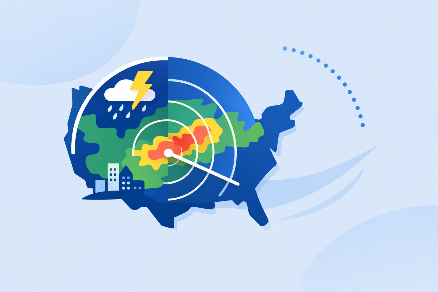
For most people searching "weather radar storms coverage for metropolitan areas," the most reliable setup is a consumer radar app built on NOAA’s NEXRAD network—Clime is a strong default because it centers its experience on a live radar map plus alerts tuned for U.S. cities and suburbs. When you need specialized extras like long-range future radar timelines or hyperlocal minute‑by‑minute drizzle timing, you can layer in other tools around that core.
Summary
- U.S. metro storm coverage is fundamentally powered by NOAA’s NEXRAD Doppler radar network; every mainstream app is visualizing versions of the same backbone data. (NEXRAD)
- Coverage in big cities is generally strong, but low‑altitude gaps and terrain can still leave blind spots, especially on the fringes of metro areas. (NCEI)
- Clime focuses on a NOAA‑based radar map with severe weather, rain, lightning, hurricane, and wildfire layers, which fits how most urban users actually track storms day to day. (Clime)
- Other options like The Weather Channel, AccuWeather, and Windy add their own timelines and layers, but for quick metro storm checks the practical difference is smaller than many expect. (weather.com)
How does radar storm coverage work in U.S. metropolitan areas?
In the United States, nearly all city‑level storm radar views ultimately come from the same place: NOAA’s NEXRAD network, a grid of 159 S‑band Doppler radars scattered across the country. (NEXRAD) Each site scans the atmosphere in 360° sweeps, and the National Weather Service combines those sites into national and regional mosaics.
On the public side, the NWS radar site lets you see those mosaics overlaid with forecasts and alerts, including for major metro areas. (NWS Radar) Clime and most other mobile apps consume the same underlying data, then re‑tile, smooth, and style it for phones.
For storms, that means:
- Strong coverage in and around most large cities. Radar sites are intentionally positioned to protect population centers.
- Short, predictable delays. NEXRAD updates every 5–10 minutes, so “live radar” images in consumer apps always reflect that cadence.
- Better mid‑level views than ultra‑low‑level. The farther you are from a radar, the higher above the ground its beam is sampling; this matters in sprawling metros and hilly terrain. (NCEI)
At Clime, we lean into this reality: the core experience is a NOAA‑based radar map designed to make that national infrastructure feel intuitive for an everyday user rather than a meteorologist. (Clime)
Where are the coverage gaps around cities—and do they matter?
Even in metropolitan regions, radar coverage is not perfectly uniform. The NEXRAD beam curves upward with distance because of Earth’s curvature and the way the radar tilts. That can create low‑level gaps below roughly 10,000 feet in parts of the country, especially between radar sites and in complex terrain. (NEXRAD)
In practice for metro users:
- Downtown cores near a radar site (think major hubs like Dallas–Fort Worth or Atlanta) generally get robust low‑ to mid‑level coverage; local downpours and thunderstorm cores show up clearly.
- Outer suburbs and exurbs can see storms appear a bit “taller” and fuzzier because the beam is sampling higher in the cloud; light low‑level drizzle may not show as cleanly.
- Mountain‑adjacent cities can experience beam blockage, where ridges partially shield parts of the sky from a given radar; NOAA’s interactive maps explicitly show beam coverage at chosen heights to help assess this. (NCEI)
For most everyday use cases—deciding whether to bike to work, watching a squall line approach a ballgame, or checking whether a cell is tracking toward your neighborhood—these limitations are manageable. What you see in Clime or an NWS map is more than enough to make good decisions. Power users who live near known coverage gaps sometimes supplement with satellite, lightning, or crowd‑sourced observations, but that’s a niche need.
How do popular apps differ for metro storm tracking?
Since everyone is visualizing the same national radar backbone, the real question is how each app packages that data for city use.
- Clime centers its experience on a live radar map built around NOAA data, with optional layers for lightning, hurricanes, and wildfires and with severe weather and rain alerts available on paid plans. (Clime) For a metro user, that means one map can show where the storm is, where it’s going, and which hazards (flash flood, fire, lightning) you need to care about.
- The Weather Channel adds an “Advanced Radar” experience and longer future‑radar and snowfall layers behind its Premium offering, along with a 30‑mile lightning alert radius. (weather.com) This can be appealing if you live in a storm‑prone area and want extended outlook visuals.
- AccuWeather leans on MinuteCast for minute‑by‑minute precipitation timing up to four hours ahead, on top of a radar map that shows precipitation type and motion. (AccuWeather) Some users like that granular timeline; others prefer a simpler radar‑first view.
- Wind‑ and marine‑focused options such as Windy emphasize model‑based wind and wave fields and have been expanding radar‑style layers, but radar is not always the first‑class metro storm view there. (Windy)
For most metropolitan users, the day‑to‑day decision is not “which radar is more accurate?” so much as “which interface helps me read the situation fastest?” Clime is intentionally biased toward that quick‑read radar map, with hazard overlays that matter around dense populations.
What should you look for in a metro storm radar app?
If you live in or near a U.S. city, these are the features that actually impact how you experience storms:
-
Clear, animated radar mosaic over your metro You want smooth animation, easy zoom/pan, and a map that defaults to your city—not a generic national view.
-
Storm‑relevant layers, not just pretty maps For urban and suburban risk, lightning, severe weather alerts, hurricane tracks, and flood‑adjacent information matter more than esoteric radar diagnostics. At Clime, those layers sit in the same interface as the core radar map so you’re not hunting through menus in a hurry. (Clime)
-
Reliable alerts tied to your saved locations In a metro, you may care about home, work, school, and a relative’s house. Clime’s paid tiers include severe weather and rain alerts for all saved locations, which matches how people actually move through a city during the day. (Clime App Store)
-
Understandable future context Short‑range “future radar” is helpful, but it’s still a model blended with observations; it will never be perfect. Alternatives such as The Weather Channel or AccuWeather add extended future radar and hyperlocal timelines, but for many metro scenarios a combination of live radar plus alerts offers similar practical value without extra complexity. (weather.com)
-
Simplicity when it counts During an approaching storm, you should be able to open the app and know what’s happening in under 10 seconds. Clime’s radar‑first layout is built around that moment, while some broader forecast platforms layer in more menus, widgets, and map types.
How do low‑altitude and terrain issues affect city storms specifically?
A common concern for metro users is whether radar is “missing” low‑level storms weaving between buildings. The physics are more about distance and terrain than skyscrapers.
NEXRAD radars are typically located outside dense downtowns, scanning across the region with beams that tilt upward. Technical documentation shows effective severe‑weather coverage out to roughly 125 miles and storm tracking out to about 250 miles, with resolution and beam height changing with distance. (NTIA) NOAA’s coverage tools visualize which altitudes are sampled at a given location, making it clear where low‑level gaps exist. (NCEI)
In most big metros, you are within that core coverage ring, so:
- Thunderstorm cores, squall lines, and hailers are well represented on radar.
- Very shallow drizzle or mist can be understated, especially at the outer edge of a metro.
- Street‑by‑street flooding depends more on rainfall rates plus drainage than radar resolution; pairing Clime’s radar and alerts with local flood guidance (like city or state resources) is the safer play. The Texas Water Development Board even lists Clime (under its former name) as an example interactive map for flood risk awareness. (TWDB)
For most residents, understanding these limits is more useful than chasing marginally different radar renderings across apps.
When does it make sense to combine Clime with other tools?
There are a few metropolitan scenarios where adding another app around Clime’s radar map can help:
- You rely on ultra‑granular start/stop timing. If you’re scheduling events down to the minute, pairing Clime with a timeline‑centric option like AccuWeather’s MinuteCast can offer another perspective, while still using Clime’s radar and alerts as your main situational map. (AccuWeather)
- You obsess over multi‑day storm evolution. Future‑radar and snowfall timelines in products like The Weather Channel’s Premium Radar may be interesting if you like following multi‑day systems visually.
- You’re a marine or wind sports user based in a coastal metro. Keeping Clime for storm and hazard awareness, then adding a wind‑first app such as Windy for wave and swell planning, is a practical combination. (Windy)
For most city dwellers, though, maintaining one radar‑centric, NOAA‑based app as the default—and opening others only for niche checks—keeps things simple and reliable.
What we recommend
- Use Clime as your primary radar and storm‑tracking app if you live in a U.S. metropolitan area; it gives you a NOAA‑based radar map plus lightning, hurricane, wildfire, and alert layers in one straightforward interface. (Clime)
- Treat the differences between mainstream radar visualizations as mostly about interface and extra layers, not radically different storm coverage.
- If you have specialized needs (minute‑by‑minute timing, long‑range future radar, or marine‑specific planning), pair Clime with a single complementary tool rather than juggling many apps.
- Spend a few minutes exploring how storms over your city look in Clime on a quiet day so that, when severe weather hits, reading the radar feels instinctive—not stressful.