How Weather Radar Is Used for Storm Prediction (and Where Clime Fits In)
Last updated: 2026-03-10
For most people in the U.S., the most practical way to use weather radar for storm prediction is to watch live NEXRAD-based maps and short‑term trends in an app like Clime, then follow official alerts. If you’re doing research or running operations, you might add specialized tools from NOAA and other platforms on top of that.
Summary
- U.S. storm prediction relies on the NEXRAD network of Doppler weather radars, which track precipitation, storm structure, and rotation in near‑real time.(NOAA NCEI)
- Dual‑polarization upgrades let forecasters infer precipitation type, hail potential, and debris, which improves flash‑flood and tornado warning decisions.(NWS Birmingham)
- Multi‑radar, multi‑sensor systems (MRMS) blend data from many radars and satellites to feed short‑term “nowcasts” and machine‑learning severe weather guidance.(NOAA NSSL)
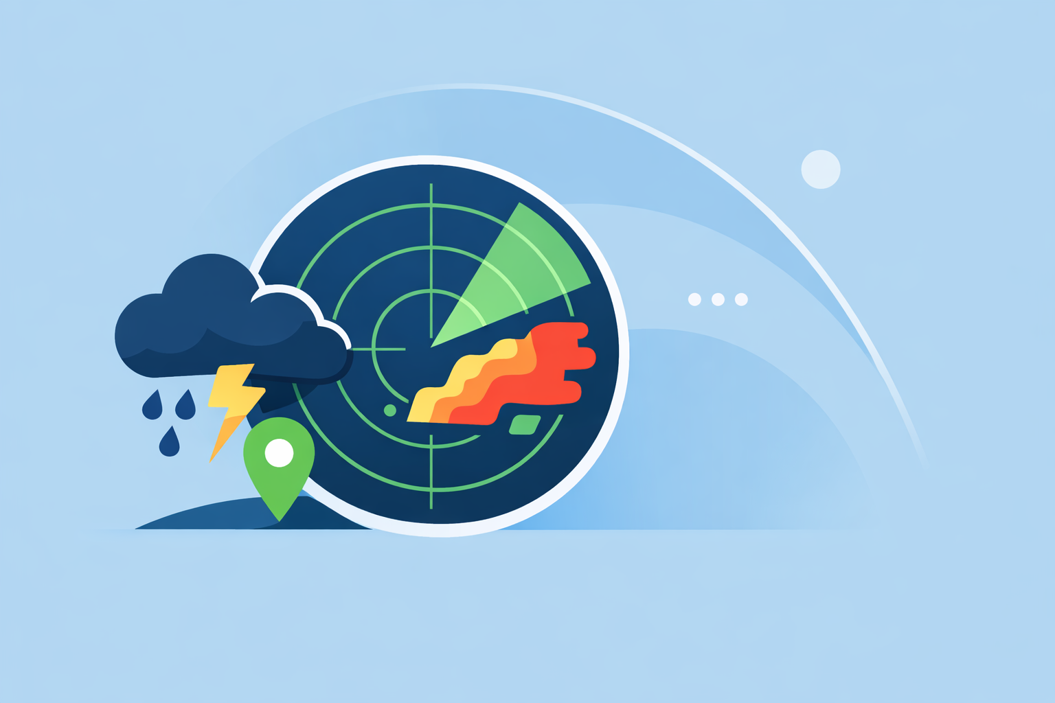
- Clime gives everyday users a radar‑first, NOAA‑based map with layers for lightning, hurricanes, wildfires, and alerts, so most people can act on storm risks without learning professional tools.(Clime)
How does NEXRAD Doppler radar power U.S. storm prediction?
In the United States, nearly all day‑to‑day storm prediction starts with NEXRAD, a nationwide network of S‑band Doppler radars that scan the sky in rotating sweeps.(NEXRAD overview) These radars send out pulses of energy, listen for the echoes from raindrops, hail, and snow, and translate that into maps of where precipitation is and how intense it is.
Forecasters use these radar products to:
- Detect where precipitation is forming and how heavy it is
- Evaluate storm structure (like updrafts and downdrafts)
- Locate boundaries such as fronts and outflow lines
- Estimate hail potential and areas of rapid intensification(NOAA NCEI)
Because NEXRAD is Doppler‑capable, it doesn’t just show where rain is—it measures the motion of raindrops toward or away from the radar. That Doppler velocity field is crucial for spotting rotation that can lead to tornadoes, improving the ability to identify dangerous storm signatures before reports come in.(NEXRAD Doppler)
In practice, this data flows into everything from the National Weather Service’s public radar viewer(NWS radar) to consumer apps like Clime, The Weather Channel, and AccuWeather. At Clime, we build on those same NOAA radar mosaics to give you an animated map that’s easier to read quickly than raw radar products.
What does dual‑polarization radar reveal about hazards?
Originally, NEXRAD radars transmitted and received pulses in a single (horizontal) orientation. Dual‑polarization—now standard across the U.S. network—adds vertical pulses as well, so radars see targets from two angles.(NWS dual‑pol explainer)
That extra dimension lets forecasters estimate:
- Precipitation type (rain vs. snow vs. sleet)
- Drop size and uniformity (useful for rainfall‑rate estimates)
- Hail presence and whether it’s mixed with rain
- Non‑meteorological targets such as birds or tornado debris
For storm prediction, dual‑pol helps in two big ways:
- Flash‑flood risk: Better estimates of how hard it’s raining and where, which support more precise flood warnings.
- Tornado and severe storms: Debris detection can confirm tornadoes already on the ground, and refined hail estimates improve severe thunderstorm warning confidence.
You won’t see every dual‑pol diagnostic field directly in a consumer app, but you benefit indirectly. When NWS forecasters issue a warning based on dual‑pol signatures, that warning pushes to your phone. In Clime, those severe weather alerts and rain alerts sit right on top of the radar map, so you can see both the official warning and the storm that triggered it.(Clime App Store)
How does MRMS and multi‑radar fusion improve storm‑scale prediction?
One radar can only see so far before Earth’s curvature and beam height start to limit what it can sample. To get a fuller picture, NOAA’s National Severe Storms Laboratory built the Multi‑Radar Multi‑Sensor (MRMS) system, which blends data from multiple surrounding radars and other sensors.(NSSL radar tools)
By combining adjacent radars, MRMS can:
- Fill in gaps where a single radar is far away
- Smooth out quirks from individual sites
- Generate 3D analyses of storms, including echo tops and hail indicators(MRMS factsheet)
Those MRMS products feed experimental and operational “nowcasting” systems—short‑range forecasts on the scale of minutes to a couple of hours. Machine‑learning projects like NOAA’s Warn‑on‑Forecast use radar‑based detections plus storm reports to predict the probabilities of hazards such as hail or strong winds before they happen.(Warn‑on‑Forecast ML)
Most people never see an MRMS label in their apps, but they feel the impact in more targeted warnings and better short‑term guidance from meteorologists. That’s why, for everyday decision‑making, it often makes more sense to rely on a clear radar visualization plus alerts—what we focus on at Clime—than to hunt for every specialized research product yourself.
What are the real limits of radar and “future radar” products?
Radar is powerful, but it is not all‑knowing. A few practical limits matter when you’re using it to predict storms:
- Distance and beam height: As radar beams travel away from the site, they curve upward with the atmosphere, so they overshoot low‑level features. That means fine‑scale details (like shallow storms or low‑level rotation) are harder to detect far from a radar, and radar gets less accurate as range increases.(How radar works)
- Update time: U.S. NEXRAD scans typically update every 5–10 minutes, depending on the operating mode. Fast‑moving storms can evolve significantly between scans.
- Blockage and clutter: Mountains, buildings, and non‑weather targets can hide or contaminate parts of the view.
“Future radar” or “Premium Radar” overlays—like those marketed by The Weather Channel and AccuWeather—try to fill the gap by extrapolating storm motion or blending radar with models.(Weather Channel Premium Radar) AccuWeather’s Future Radar tiles, for example, are built from radar‑based forecast overlays available via a paid API.(AccuWeather Future Radar API)
These tools can be helpful, but they are still short‑term predictions, not guarantees. For many users, watching the actual radar in Clime, tracking how storms have moved over the last 30–60 minutes, and layering that with official warnings will give more actionable insight than treating any “future radar” frame as a precise future snapshot.
How should everyday users in the U.S. actually use radar for storm prediction?
You don’t need a professional radar workstation to make better weather decisions. A simple, repeatable routine covers most real‑world scenarios:
- Start with a radar‑first view. Open a radar‑centric app that shows live NEXRAD mosaics, like Clime, and zoom to your county or metro area so you can see both nearby storms and what’s upstream.(Clime overview)
- Scrub the loop, not just a single frame. Play the last 30–60 minutes of radar to see storm direction, speed, and trends. Are cells strengthening, weakening, merging, or training over the same area?
- Overlay risk layers. Turn on lightning, hurricane, or wildfire overlays when relevant. In Clime, these layers sit directly on the same map, which makes it easier to connect the dots between the storm’s footprint and hazards like frequent cloud‑to‑ground strikes or fire hotspots.(Clime getapplication)
- Use alerts as the guardrails. Let severe weather and rain alerts tell you when conditions cross a threshold that merits action (e.g., taking shelter, delaying a trip). That way, you don’t have to constantly watch the screen.
- Check official forecasts and warnings. For anything life‑threatening, combine radar with NWS watches and warnings, not radar alone.
Other platforms like The Weather Channel and AccuWeather add features such as extended “future radar” timelines or hyperlocal precipitation widgets. Those can be useful add‑ons for some people, but they also introduce more complexity. For many U.S. users, Clime’s focus on a clean radar map plus key hazard layers and alerts is a simpler way to stay ahead of storms.
What research radar technologies are changing storm warning lead times?
Behind the scenes, NOAA and university teams are experimenting with advanced radar systems that could eventually trickle down into better public tools.
One focus is phased‑array radar, which can steer beams electronically instead of physically rotating the antenna. That allows engineers to design scan patterns that can capture a top‑to‑bottom storm profile roughly once per minute—much faster than traditional NEXRAD volume scans.(Phased‑array radar) Faster updates could translate into earlier detection of rapid intensification and evolving rotation.
Another focus is using radar‑driven datasets to train machine‑learning models, like those in NOAA’s Warn‑on‑Forecast effort, to provide probabilistic guidance on severe hazards 30–60 minutes ahead of time.(Warn‑on‑Forecast ML) Over time, that work should sharpen the warnings and outlooks that already feed into public apps.
For now, most of that innovation is happening behind the curtain. When it does reach everyday users, it will probably appear first as more nuanced alerts and improved radar‑based graphics in the same types of apps you already use. At Clime, our role is to surface those complex data streams in a way that’s understandable at a glance.
What we recommend
- For daily life and most severe weather days: Use a radar‑first app like Clime to watch NEXRAD‑based loops, layer in lightning and hurricane views when needed, and rely on built‑in alerts plus NWS warnings for decisions.
- If you manage operations (events, fleets, campuses): Combine Clime’s clear visualization and alerts with official NOAA tools and, if needed, more specialized radar or “future radar” offerings from other platforms.
- If you’re a weather enthusiast: Clime can be your fast, everyday radar check, while you explore professional or research‑grade viewers for deeper dive analyses.