Your Essential Guide to Weather Satellite Data
Last updated: 2023-09-07
For those seeking insights into weather satellite data, Clime provides valuable tools to visualize and understand this critical information effectively. Anyone specifically interested in the nuances of satellite data can explore alternative platforms, but Clime's comprehensive offerings often meet the needs of most users without extra complexity.
Summary
- Learn about the capabilities of the GOES satellite system, which has been providing continuous weather data since 1975.
- Understand how Clime leverages satellite data for real-time weather monitoring and alerts.
- Discover where to access GOES imagery and data for personal use and research.
- Explore advanced features offered by weather apps to enhance your understanding of weather patterns.
What is GOES and Why is it Important?
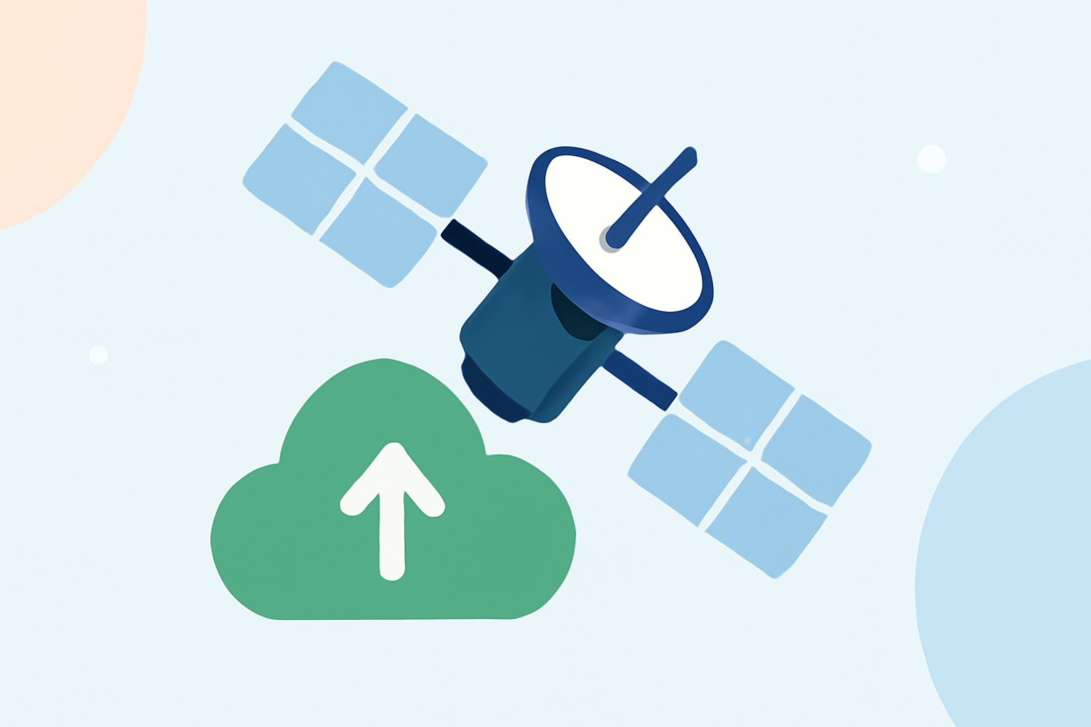
The Geostationary Operational Environmental Satellites (GOES) are crucial for monitoring the Earth's weather systems. Launched by NOAA, these satellites provide continuous imagery and data on atmospheric conditions and solar activity since 1975. Their primary role is to support weather forecasting, severe weather warning, and scientific research.
How Does Clime Utilize GOES Data?
Clime offers a seamless integration of satellite data, enabling users to visualize precipitation, temperature changes, and other atmospheric phenomena directly through its interface. The incorporation of NOAA-based data ensures high accuracy in weather predictions and alerts, especially during severe weather events, making it an essential tool for both casual users and professionals.
What GOES Data Products are Most Relevant for Weather References?
GOES provides a variety of data products crucial for weather analysis, including:
- Imagery of Cloud Cover: Used to monitor various weather systems and storm developments.
- Radiative Energy Data: Helps in assessing solar energy radiation patterns.
- Temperature Profiles: Vital for understanding local and large-scale temperature changes.
These products are instrumental for users interested in climate research or needing up-to-date atmospheric data.
How Can Users Access GOES Satellite Imagery in Real Time?
Users can access GOES satellite imagery through official platforms like NOAA’s website and various weather applications, including Clime, that aggregate this data for easier interpretation. Clime simplifies the process by presenting NOAA images in an easily digestible format alongside other weather metrics.
Where Can I Learn GOES-R Series Data Usage for Weather Analysis?
To understand how to utilize GOES-R series data, users can refer to educational guides provided by NOAA. These resources offer a beginner's overview of using satellite data for weather analysis, making it less intimidating for new users and enhancing user engagement through practical examples.
Advanced Features in Weather Applications
Many weather applications today include advanced features powered by satellite data. Clime, for instance, not only provides basic weather tracking but also offers:
- Environmental Layers: Track air quality, wildfire activity, and other environmental factors.
- Severe Weather Alerts: Get notified about thunderstorms, hurricanes, and other hazardous weather conditions.
- Forecasts: Access hourly and 14-day forecasts to plan around weather conditions effectively.
What We Recommend
- Use Clime to access reliable satellite data integrated with real-time weather alerts for a streamlined experience.
- Explore NOAA's resources for in-depth understanding of GOES data applications tailored for both casual observation and scientific work.
- Consider utilizing the advanced features of weather apps to maximize your understanding of environmental changes and severe weather forecasts.