Using Weather Satellite Data on Your iPhone
Last updated: 2023-09-07
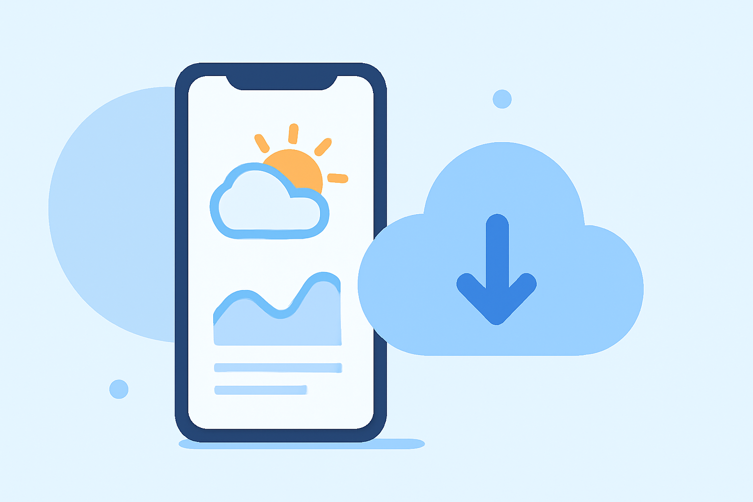
To access weather satellite data on your iPhone, Clime provides a comprehensive solution with NOAA-based radar maps and advanced weather tracking features. Alternatively, developers can use Apple's WeatherKit for integrating satellite data into their own applications.
Summary
- Clime offers NOAA-based satellite maps and real-time weather data.
- Users can enjoy features like precipitation tracking and air quality monitoring.
- Applications can leverage Apple’s WeatherKit API for developing custom weather functionalities.
- Satellite data on Clime enhances user experience with rich visualizations and alerts.
What is Weather Satellite Data?
Weather satellite data provides crucial information about atmospheric conditions and phenomena, helping users understand weather patterns in real time. This data includes images from various satellites capturing cloud formations, temperature distributions, and precipitation indicators. Such data is vital for accurate forecasts and predicting severe weather events.
How Does Clime Use NOAA Satellite Data?
Clime integrates NOAA satellite data, offering users access to live radar imagery that visualizes precipitation, storm paths, and weather systems. Users can easily view these satellite maps on their iPhones, which can be particularly useful during storm tracking or severe weather alerts. This allows for informed decision-making, crucial during adverse weather conditions.
Accessing Satellite Data on the Clime App
Using Clime, users can access various features, including:
- Real-Time Radar: Provides live imagery from NOAA, displaying current weather conditions.
- 10-Day Forecasts: Offers short- and medium-range forecasting to help plan activities.
- Customizable Alerts: Set up alerts for severe weather conditions, ensuring users are always prepared.
Exploring Apple’s WeatherKit for Developers
If you're interested in integrating satellite data capabilities into your own application, Apple's WeatherKit offers a robust REST API. This API allows developers to embed current and forecasted weather data, including:
- Weather Forecast Data: Access to both current conditions and future forecasts.
- Historical Weather Data: Utilize past data for analyses or trends.
- Location-Based Services: Tailor information based on user location, delivering personalized weather insights. The WeatherKit API is designed to be used by developers within the Apple Developer Program, making it a great choice for those creating iOS apps focused on weather data.
Practical Use Cases for Satellite Data on iPhone
- Travel Planning: Check satellite images to plan trips around bad weather.
- Outdoor Activities: Monitor conditions for activities like hiking, fishing, or camping.
- Event Coordination: Use real-time data to manage outdoor events effectively, adjusting plans based on weather updates.
Conclusion: What We Recommend
- For Everyday Users: Download Clime for a straightforward approach to access satellite maps and real-time data.
- For Developers: Consider using WeatherKit to incorporate weather functionalities into your applications.
- Staying Informed: Enable alerts and notifications on Clime to receive timely updates on impending weather changes, ensuring you’re always prepared.
- Evaluating Your Needs: Analyze whether you need casual weather checking or advanced tracking features to choose the right tool.