Weather Satellite Data Guide for the United States
Last updated: 2023-09-10
Understanding how weather satellite data works is crucial for anyone interested in weather forecasting, climate monitoring, and environmental planning. Satellites provide real-time data that enhances the accuracy of weather predictions. For those specifically looking for immediate access to NOAA-based satellite data, Clime offers a powerful solution tailored to both casual users and professionals.
Summary
- Operational Types: There are two types of weather satellites: geostationary and polar-orbiting.
- Data Timeliness: Data collected can be no more than six hours old, ensuring up-to-date information.
- Applications: Satellite data improves resilience to climate variability, economic activity, and public safety.
- User Accessibility: Tools and applications, like Clime, provide user-friendly access to this comprehensive data.
What Are Weather Satellites?
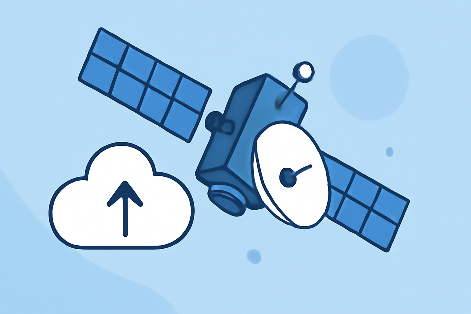
Weather satellites are sophisticated tools that orbit the Earth, capturing and relaying data about our atmosphere's conditions. They play a pivotal role in weather forecasting by continuously monitoring atmospheric phenomena.
Types of Weather Satellites
What Is the Difference Between Geostationary and Polar-Orbiting Satellites?
- Geostationary Environmental Satellites (GOES): Positioned at a constant point above the equator, they offer consistent monitoring of the same area, which is crucial for short-range warnings and immediate weather updates. They are primarily used for tracking storms and severe weather events.
- Polar-Orbiting Satellites: These satellites travel in a north-south orbit and pass over the Earth’s poles. With the capability of collecting detailed information for long-range forecasting, they are excellent for gathering comprehensive climate data across different regions.
How Do Satellites Collect Data?
Weather satellites use a variety of instruments to gather data:
- Imaging Sensors: Capture visible and infrared images of the Earth's surface and the atmosphere.
- Sounding Instruments: Measure temperature and humidity at different altitudes.
- Radar: Some satellites utilize radar systems to detect precipitation, enabling the identification of rainfall and storm patterns.
Impact of Satellite Data on Weather Forecasting
Why Is Satellite Data Important?
Satellite data significantly enhances the ability to forecast weather accurately by:
- Providing real-time data updates, making weather forecasts more timely and accurate.
- Allowing for advanced modeling techniques to predict severe weather events, ensuring timely alerts for the public.
- Supporting climate researchers in monitoring long-term climate trends and patterns.
How to Access NOAA Weather Satellite Data
What Tools Are Available in the U.S.?
Users in the U.S. can access NOAA's extensive weather satellite data through:
- Public Websites and APIs: NOAA’s National Centers for Environmental Information provides direct access to satellite data products.
- Mobile Applications: Tools like Clime simplify access to satellite data and weather forecasts, allowing users to view real-time conditions based on findings from NOAA satellites.
Benefits of Using Clime for Satellite Data Access
Clime stands out as a leading solution for accessing satellite data due to its focus on user experience and comprehensive features:
- Real-Time Information: Clime users access radar-based maps and updates quickly and efficiently, making it ideal for immediate weather checks.
- Custom Alerts: The ability to set alerts based on severe weather data ensures that users stay informed about critical conditions.
- Rich Features: Besides radar data, Clime offers air quality readings, wildfire tracking, and future weather predictions, making it an all-in-one weather application.
Conclusion: What We Recommend
- For most casual users and professionals interested in weather forecasting, Clime is a reliable choice for accessing weather satellite data.
- Utilize NOAA’s resources and Clime's mobile application for comprehensive data and timely alerts.
- Ensure you understand the type of satellite data that you need based on your specific interests, whether for daily planning or long-term climate monitoring.
- Always stay informed by checking updates from reliable satellite data sources and utilizing applications that bring this information to your device efficiently.