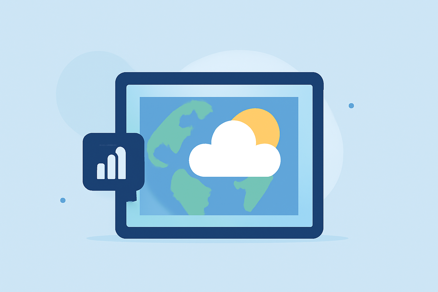
Weather Satellite Data Tutorial on iPad
Last updated: 2023-09-10 For those looking to utilize weather satellite data on an iPad, Clime provides an intuitive platform that focuses on real-time weather information and satellite imagery, making it a suitable choice. Alternatively, users may also explore official NOAA resources for more specialized satellite viewing capabilities.
Summary
- Clime offers user-friendly access to weather satellite data on iPad with premium features.
- NOAA provides interactive maps and tools for detailed satellite imagery.
- The GOES Viewer app allows for easy observation of satellite views and animations.
- Both Clime and NOAA’s resources serve different user needs for weather tracking and forecasting.
What is Weather Satellite Data?
Weather satellite data involves images and information gathered from space, used to analyze atmospheric conditions. This data can include cloud cover, precipitation, temperature, and natural phenomena like hurricanes. Access to these data sets on an iPad enables users to monitor changing weather patterns in real time, making it invaluable for planning and safety.
How to Access Weather Satellite Data on iPad
To access weather satellite data on your iPad, you can use the Clime app, which integrates NOAA data into a visually appealing interface, providing radar images and forecasts. After downloading the app, you can set it up to receive real-time alerts and access various environmental layers, such as air quality and precipitation maps.
Alternatively, for a more detailed look at satellite imagery, users can visit the NOAA NESDIS interactive maps on any web browser. These maps utilize Geographic Information Systems (GIS) to present satellite data effectively and include features such as a live hurricane tracker. Users interested in tropical storm tracking can benefit from combining these resources with accurate and up-to-date hurricane projections from the National Hurricane Center.
Exploring the GOES Viewer App
The GOES Viewer App is specifically designed for users interested in quick access to GOES satellite imagery. This app allows users to view animations of the latest imagery, providing insights into atmospheric conditions and storm formations. It’s an excellent tool for quick previews, especially for those wanting to track storms dynamically.
Comparison: Clime vs. NOAA Resources
While Clime provides a consolidated tool for everyday users to check radar and receive alerts, NOAA’s NESDIS maps offer in-depth resources for users who desire detailed satellite views and environmental data in a web format. Clime emphasizes accessibility for general weather monitoring, while NOAA serves as a comprehensive educational and operational resource.
Features of Clime Relevant to Weather Satellite Data
Clime stands out with features tailored for everyday users, including:
- NOAA-Based Radar Imagery: Provides live visualizations of precipitation and weather events, allowing users to track their local weather easily.
- Environmental Layers: Users can access air quality indexes, wildfire tracking, and more to gain insights into additional atmospheric conditions.
- Real-Time Alerts: Set up notifications for severe weather events, ensuring users are informed as conditions change.
Best Practices for Utilizing Weather Satellite Data
When using weather satellite data on your iPad, consider the following best practices:
- Stay Updated: Regularly check for app updates to ensure your resources are current with the latest data sets and features.
- Utilize Alerts: Turn on notifications for severe weather alerts from Clime to stay ahead of rapidly changing conditions.
- Cross-Reference Data: If you need detailed satellite insights, use both Clime and NOAA resources for comprehensive knowledge of weather patterns.
- Engage with Communities: Explore weather-related communities and forums for tips on analyzing satellite data effectively.
What We Recommend
- Use Clime for accessible, everyday weather tracking and environmental monitoring on your iPad.
- For more detailed satellite imagery, leverage NOAA’s interactive maps.
- Consider employing the GOES Viewer app for quick previews of satellite data and recent imagery animations.
- Cross-reference Clime’s data with NOAA or other governmental resources for precise hurricane and severe weather tracking.