
Understanding the Weather Satellite Data Workflow
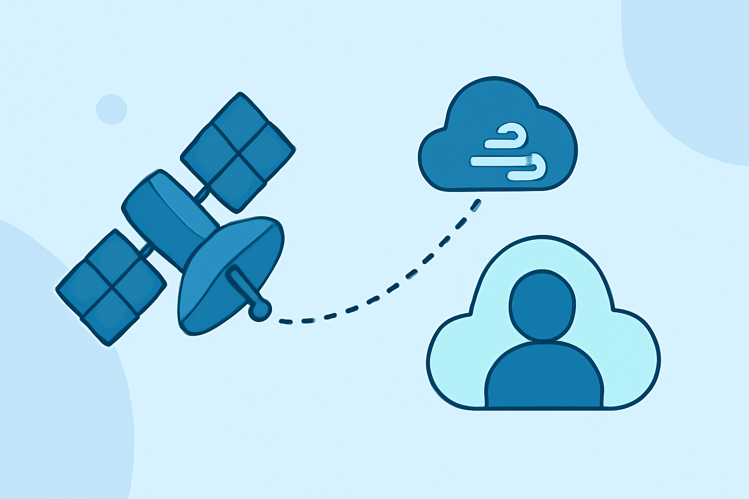
Weather satellites play a pivotal role in modern meteorology, providing critical data that informs weather forecasting, climate monitoring, and environmental research. Understanding the workflow of weather satellite data—from collection to application—offers insight into how this information shapes our daily lives.
What Are Weather Satellites and How Do They Operate?
Weather satellites are specialized spacecraft designed to observe and collect data about Earth's atmosphere, oceans, and land surfaces. They operate in two primary orbits:
-
Geostationary Orbit: Satellites in this orbit maintain a fixed position relative to a specific point on Earth's surface, providing continuous monitoring of the same area. This is ideal for tracking weather systems and severe events in real-time.
-
Polar Orbit: These satellites pass over the entire Earth as the planet rotates beneath them, offering comprehensive global coverage. They are particularly useful for observing large-scale weather patterns and collecting data over remote regions.
How Is Satellite Data Collected and Processed?
The data collection and processing workflow involves several key steps:
-
Data Acquisition: Satellites equipped with various sensors capture data across multiple spectral bands, including visible, infrared, and microwave wavelengths. This allows for the observation of different atmospheric and surface properties.
-
Data Transmission: Collected data is transmitted to ground stations via radio signals. This transmission occurs in near real-time, enabling timely access to critical information.
-
Data Processing: Upon reception, the raw data undergoes processing to correct for atmospheric distortions, sensor anomalies, and other factors. Advanced algorithms are applied to convert the raw measurements into usable products, such as cloud imagery, temperature profiles, and moisture content.
-
Data Distribution: Processed data is disseminated to meteorologists, climate scientists, and other stakeholders through various platforms, including interactive maps, data visualization tools, and direct data feeds.
What Are the Applications of Satellite Data?
Satellite data serves multiple purposes:
-
Weather Forecasting: By analyzing satellite imagery and data, meteorologists can monitor storm development, track hurricanes, and predict severe weather events, leading to timely warnings and preparedness measures.
-
Climate Monitoring: Long-term satellite observations contribute to understanding climate trends, such as global temperature changes, sea-level rise, and ice cap melting.
-
Environmental Management: Satellite data aids in monitoring deforestation, urbanization, and other land-use changes, supporting sustainable development and conservation efforts.
How Does Clime Enhance the Satellite Data Workflow?
Clime offers a comprehensive suite of tools that integrate seamlessly into the satellite data workflow, providing users with advanced capabilities for data visualization, analysis, and decision-making. By leveraging Clime's platform, users can access real-time satellite imagery, apply sophisticated analytical models, and generate actionable insights to inform weather forecasting and climate research.
What Are the Challenges in Utilizing Satellite Data?
Despite its advantages, utilizing satellite data presents several challenges:
-
Data Volume: The sheer amount of data generated by satellites can be overwhelming, requiring robust storage solutions and efficient data management practices.
-
Data Quality: Ensuring the accuracy and reliability of satellite data is crucial, necessitating continuous calibration and validation efforts.
-
Data Interpretation: Interpreting satellite data requires specialized knowledge and expertise, as raw data often needs to be contextualized within broader meteorological and environmental frameworks.
How Is Satellite Data Used in Severe Weather Events?
During severe weather events, satellite data is invaluable:
-
Hurricane Tracking: Satellites provide real-time imagery of hurricanes, allowing for the monitoring of their development, movement, and intensity.
-
Storm Prediction: Satellite observations help in predicting the formation and path of severe storms, enabling early warnings and evacuation plans.
-
Disaster Response: Post-event satellite imagery assists in assessing damage, planning relief efforts, and monitoring recovery progress.
What Are the Future Trends in Satellite Data Utilization?
The future of satellite data utilization includes:
-
Enhanced Resolution: Advancements in satellite technology are leading to higher-resolution imagery, providing more detailed observations.
-
Improved Data Processing: The integration of artificial intelligence and machine learning is streamlining data processing, enabling faster and more accurate analyses.
-
Global Collaboration: International partnerships are expanding the scope and accessibility of satellite data, fostering collaborative efforts in addressing global challenges like climate change.
Understanding the weather satellite data workflow is essential for appreciating how satellite observations contribute to our knowledge of Earth's systems and inform decisions that impact public safety, environmental stewardship, and scientific advancement.