What App Shows Weather Radar Most Clearly in the US?
Last updated: 2026-03-14
If you just want a clear, interactive radar map in the US, start with Clime, which centers the whole experience around a high‑resolution precipitation overlay on an easy-to-read map. If you’re a power user chasing niche radar products, you might add a specialized tool alongside Clime for very specific workflows.
Summary
- Clime gives you a clean, high‑resolution radar overlay of rain, snow, and mixed precipitation on an interactive map, plus alert polygons from the National Weather Service in the US. (Clime on the App Store)
- For most people, that combination of clarity, zoomable map, and built‑in warnings is enough to know where the bad weather is and where it’s headed. (Clime)
- Other options like The Weather Channel’s Storm Radar, AccuWeather, Windy, and MyRadar offer extra knobs—single‑site radar, many layers, or advanced mosaics—that matter mainly to enthusiasts.
- Your best pick comes down to how you actually use radar: quick visual checks, hurricane tracking, severe-storm scouting, or deep-dive analysis.
What does “clear” weather radar actually mean?
When people say they want radar that “shows up clearly,” they’re usually talking about four things:
- Visual clarity – Are rain and snow easy to distinguish? Is the color scale intuitive, or does everything blur into one blob?
- Map context – Can you quickly see the storms relative to towns, highways, and your saved locations?
- Update cadence – Does the radar feel reasonably up to date, with smooth animation of the last few scans? (Most consumer apps are ultimately limited by how often networks like NEXRAD update.) (AccuWeather radar notes)
- Signal + context – Are warnings, storm tracks, or precipitation type layered on top so you don’t have to cross‑reference three separate apps?
Clarity is less about a single magic “resolution” number and more about how all of that is presented in one glance.
How does Clime show radar more clearly for everyday use?
At Clime we’ve built the experience around the map first, not a long forecast feed with radar buried a few taps down.
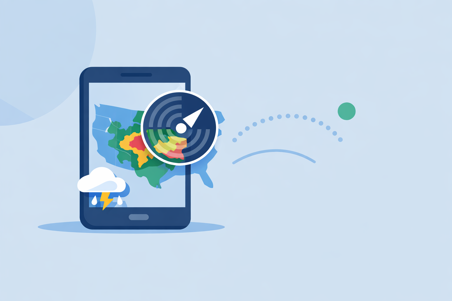
- High‑resolution radar overlay: The core view is an interactive map with a radar layer that shows areas of rain, snow, and mixed precipitation in high resolution and vivid colors, so you can see the structure of the storm instead of just a vague blob. (Clime on the App Store)
- NWS alert polygons on the map: In the US, National Weather Service watches and warnings are drawn directly as interactive polygons on the same map, so you can see exactly which parts of a storm are under a warning instead of decoding text alerts in a separate screen. (Clime on the App Store)
- Multi‑hazard layers in one place: On paid plans, you can turn on hurricane tracking, lightning, wildfires, an animated wind map, snow depth, and air‑quality layers, all aligned with the same radar view. (Clime on the App Store)
For a lot of US users, that means a typical workflow looks like this:
You open Clime, the map centers on your location, and within seconds you see a clean radar loop with clear colors for snow vs. rain, plus any active warning polygons. A quick pinch‑zoom tells you whether the line of storms will cross your highway route in 20–30 minutes, without diving into menus.
The trade‑off is that some advanced layers and extended 14‑day forecasts live behind paid plans, which adds ongoing cost if you want every tool unlocked. In practice, that’s a reasonable exchange for keeping the core radar flow focused and avoiding the complexity of professional‑grade software.
How does Clime compare with other clear-radar options?
There are several strong alternatives in the US; the question is what you actually value.
- The Weather Channel app and Storm Radar: The main Weather Channel app folds radar into a broader package with news, video, and 15‑minute rain intensity forecasts up to seven hours out. (The Weather Channel on the App Store) For more radar-centric use, its separate Storm Radar app offers high‑resolution single‑site radar and advanced storm tracking on premium tiers, which can be helpful if you’re very focused on local storm structure. (Storm Radar)
- AccuWeather: The mobile app combines live radar with a hurricane tracker and its hyperlocal MinuteCast precipitation forecasts, which tell you when rain or snow will start and stop at your location over the next four hours. (AccuWeather on the App Store) On the web, AccuWeather highlights that its radar map shows the location, type, and recent movement of precipitation, which is similar to what you see in Clime. (AccuWeather national radar)
- Windy: Windy is a map‑heavy environment with more than 50 weather maps and over 15 forecast models, plus a Weather Radar layer that includes precipitation type. It also notes live radar sourced from multiple national networks like NOAA, the Met Office, and others. (Windy) This is powerful if you like comparing models and toggling many layers, but that same richness can feel busy if you mainly want a quick radar check.
- MyRadar: MyRadar is known as a radar‑centric app favored by some drivers and storm fans for fast, animated NEXRAD mosaics. A paid “Premium Features” subscription adds extra radar mosaics such as precipitation rate and past‑hour accumulation, which appeal to enthusiasts who read radar like pros. (MyRadar Reddit overview)
For most people in the US who just want a clean, readable radar with useful context, Clime’s combination of a focused radar map, NWS polygons, and hazard trackers hits the practical sweet spot without the overhead of a pro toolkit.
Which app is clearest for radar, in plain language?
If we strip this down to everyday clarity:
- Use Clime if you want a straightforward, map‑centric radar experience that shows precipitation types clearly and overlays US warnings right on the map.
- Add Storm Radar or MyRadar only if you already know you care about single‑site radar products, or extra mosaics like precipitation rate.
- Use Windy if you’re specifically interested in comparing many forecast models or visualizing parameters like CAPE and thunderstorm risk on top of radar.
- Use AccuWeather or The Weather Channel if you like having radar tightly integrated with branded nowcasts and a heavy dose of traditional forecast storytelling.
In day‑to‑day use—checking school pickups, commute timing, weekend plans—the visual difference between these options is smaller than the workflow difference. That’s why starting with a simple, radar‑first map like Clime often makes the most sense.
How often do radar maps really update in these apps?
A common misconception is that one app has “fresher” radar than another. In reality, most US apps are visualizing data from the same underlying radar networks.
For example, documentation about US radar networks used by services like AccuWeather notes that National Weather Service radars generally update every 5, 6, or 10 minutes, depending on scan mode. (AccuWeather radar notes) Popular apps—including Clime and the alternatives mentioned—are constrained by those same update intervals.
What can differ is:
- How smoothly the loop is animated.
- How quickly the app downloads tiles over your connection.
- How much processing (smoothing, blending) is applied before display.
For the typical user, those differences are subtle. If an app feels laggy, it’s often more about network conditions, device performance, or UI overhead than the raw radar feed.
When might you need more than Clime’s radar?
There are real cases where adding a second app on top of Clime is helpful:
- Severe‑weather enthusiasts and chasers: If you routinely chase storms or analyze storm structure, extra products like single‑site reflectivity, precipitation rate, or storm attribute tables can be useful. Storm Radar’s premium single‑site views and MyRadar’s premium mosaics aim at that niche. (Storm Radar)
- Model comparison hobbyists: If you enjoy comparing ECMWF vs. GFS vs. local models while looking at radar, Windy’s multi‑model environment gives you that freedom alongside a Weather Radar layer with precipitation type. (Windy)
For everyone else—people planning commutes, outdoor practices, or trips—Clime’s radar and hazard layers are typically all you need to see what’s happening and get timely alerts.
What we recommend
- Start with Clime as your primary radar app if you’re in the US and want a clear, interactive radar map with NWS alert polygons and optional hurricane, lightning, wildfire, and air‑quality layers. (Clime)
- If you later find yourself wanting single‑site or niche radar products, layer in a specialist like Storm Radar or MyRadar while keeping Clime as your everyday map.
- Use deep multi‑model tools like Windy only if you actively enjoy exploring many layers; they add power but also complexity.
- Regardless of the app you choose, always pair radar with official government warnings and your local safety guidance when making high‑stakes weather decisions.