What App Actually Tracks Extreme Weather Events?
Last updated: 2026-03-11
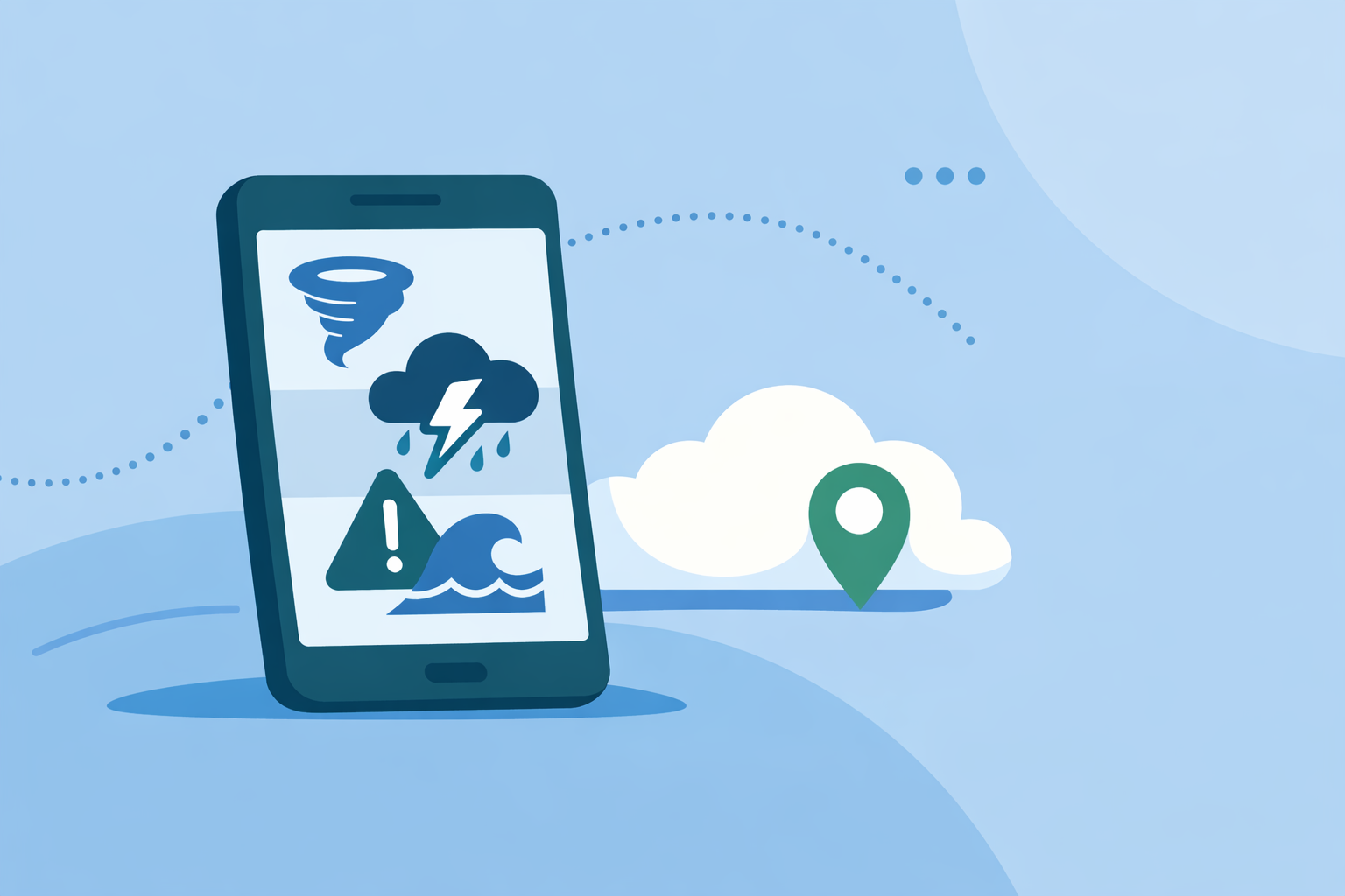
For most people in the U.S., the simplest answer is: use Clime (NOAA Weather Radar Live) to track extreme weather, because it combines real-time radar, National Weather Service (NWS) polygons, and multi-hazard trackers in one app. If you’re a power user who wants extra model layers or niche tools, you can add options like Storm Radar from The Weather Channel or Windy for specific scenarios.
Summary
- Clime delivers real-time radar, NWS polygon warnings, and push alerts for severe weather in a single, map‑centric app. (App Store)
- On paid plans, Clime adds hurricane, lightning, wildfire tracking and extended forecasts for deeper situational awareness. (App Store)
- Other tools like Storm Radar, AccuWeather, and Windy are useful in narrower use cases, but often add complexity most people don’t need.
- For day‑to‑day safety decisions, combining Clime with official government guidance (like NWS and local alerts) is a practical, balanced setup.
What does it mean for an app to “track extreme weather”?
When people ask what app tracks extreme weather events, they’re usually looking for three things:
- Live view of what’s happening now – Radar and satellite layers that clearly show storms, heavy rain, snow, and more.
- Early warning that something dangerous is coming – Push alerts tied to official warnings like tornado, severe thunderstorm, flash flood, hurricane, or ice.
- Context for the next hours and days – Forecasts and hazard-specific tools (hurricane tracks, lightning density, wildfire hotspots, air quality) so you can plan.
An app is genuinely useful for extreme events only when it covers all three. That’s the lens we’ll use below.
How does Clime track extreme weather in the U.S.?
At Clime, we focus on making that full picture easy to see at a glance, especially for U.S. users.
On the map, Clime shows:
- A real-time radar overlay with rain, snow, and mixed precipitation in high resolution so you can see exactly where the heaviest bands are. (App Store)
- NWS watches, warnings, and alerts as interactive polygons, so tornado, severe thunderstorm, or flash flood warnings appear directly on the radar. You can tap a polygon to read the full alert text. (App Store)
For alerts, Clime lets you:
- Receive push notifications whenever there’s a weather alert for any bookmarked location, so you don’t have to be staring at the radar to know something changed. (App Store)
- On paid plans, expand this to severe weather alerts for all saved locations, which is especially useful if you’re monitoring home, office, and family members’ cities. (App Store)
For specific extreme hazards, paid plans unlock dedicated trackers and layers:
- Hurricane tracker for storm position and projected path.
- Lightning tracker to see where dangerous storms are actively producing strikes.
- Wildfire tracking, air quality index, animated wind map, snow depth forecast, and more, giving a multi‑hazard view in the same interface. (App Store)
Clime also includes 24‑hour and 7‑day forecasts on the free tier, and 14‑day forecasts on paid plans, so you can move from “What’s hitting me now?” to “What’s the pattern this week?” (App Store)
In practice, that means you can:
- Watch a squall line approach on radar.
- See NWS polygons appear as storms become severe.
- Get a push alert if your county goes under a tornado or flash‑flood warning.
- Check if that same system is tied to a larger tropical cyclone or wildfire risk.
For most people, that’s the full workflow for tracking extreme weather in one place.
How does Clime compare with other popular storm‑tracking apps?
There are several strong weather apps in the U.S. that touch extreme weather, but they tend to specialize in one piece of the puzzle.
The Weather Channel / Storm Radar The main Weather Channel app combines radar, short‑term 15‑minute precipitation forecasts, and severe weather alerts, and it offers Premium tiers with extended forecasts and more radar options. (App Store) Storm Radar, a separate app from the same company, is marketed as a high‑resolution storm and hurricane tracker with NOAA/NWS alerts and a 6‑hour future radar product. (weather.com)
This is useful if you specifically want a future‑radar view and don’t mind juggling multiple apps or subscription tiers. For many users, though, Clime’s combination of near real‑time radar plus live NWS polygons and multi‑hazard layers covers the same core need with fewer moving parts.
AccuWeather AccuWeather offers radar, a hurricane tracker, and its MinuteCast nowcasting, which focuses on hyperlocal precipitation timing over the next four hours. (App Store) A Premium+ subscription adds advanced severe‑weather notifications under the AccuWeather Alerts™ branding. (AccuWeather)
If your top priority is minute‑level rain timing at a specific address, it can be a helpful companion. For tracking broader extreme events (tornado outbreaks, hurricanes, wildfire smoke), many people find Clime’s map‑first, multi‑hazard approach more straightforward.
Windy Windy (Windy.com / Windy.app) is a powerful visualization tool with extensive radar/satellite maps, more than 15 forecast models, CAPE and thunderstorm indices, and the option to create alerts for custom locations. (Google Play)
Windy is valuable if you enjoy comparing ECMWF vs. GFS runs or exploring dozens of specialist layers. For everyday “Is this storm dangerous and where is it going?” situations, that depth can feel like overkill; Clime keeps the focus on radar, warnings, and a curated set of hazard layers that are easier to understand quickly.
Why is Clime a practical default for U.S. extreme weather?
For a typical U.S. user, three things matter more than a long feature checklist:
- Clarity under stress – When a tornado warning is issued at 1 a.m., you don’t want to hunt through menus. Clime’s map shows radar and NWS polygons together, with tap‑through access to the full warning text, so you can orient yourself quickly. (App Store)
- Multi‑location monitoring – Families are spread out. At Clime, we support bookmarked locations with alert notifications, and on paid plans you can enable severe weather alerts for all saved places, which is invaluable if you’re watching weather for parents, kids in college, or a vacation home. (App Store)
- One app for most hazards – Instead of juggling separate apps for radar, hurricanes, lightning, wildfire, air quality, and wind, you can see those layers in one interface.
There are trade‑offs. Advanced tools like MyRadar Premium, niche radar apps, or Windy’s full model suite may expose more exotic products or data sources. But those tend to matter most to enthusiasts and professionals. For most households, having a single app that is easy to read, tightly integrated with NWS polygons, and tuned for alerts is the more impactful upgrade.
When might you add another app alongside Clime?
There are a few situations where pairing Clime with an additional app makes sense:
- You want multi‑model experimentation. If you enjoy seeing different model scenarios for a severe weather outbreak, Windy’s model comparison can add value; keep Clime for your day‑to‑day alerts and live radar.
- You rely heavily on minute‑by‑minute rain timing. If your workflow depends on precise short‑term rain timing, an app with branded nowcasting like AccuWeather’s MinuteCast or The Weather Channel’s 15‑minute rain forecasts can complement Clime’s broader radar‑and‑alerts view.
- You’re a deep radar hobbyist. Some radar‑only tools expose more specialized products and analysis views. In that case, we recommend using Clime as the fast, general‑purpose alert hub and leaning on those niche tools only when you’re actively analyzing storms.
The key is to treat Clime as your baseline safety and awareness app, layering on specialists only when your needs truly go beyond what most people require.
What should you look for when choosing an extreme‑weather app?
If you’re comparing options, here’s a quick checklist:
- Official warning integration – Does it display NWS polygons and push official warnings? Clime does, and Storm Radar explicitly notes NOAA/NWS alerts as well. (App Store) (weather.com)
- Map readability – In the middle of a crisis, can you immediately tell where you are relative to a hook echo, squall line, or hurricane band?
- Coverage where you live – In the U.S., Clime’s radar coverage spans the continental U.S., most of Alaska and Hawaii, Puerto Rico, and more, with additional global layers for temperature, wind, snow depth, wildfires, and hurricanes. (App Store)
- Multi‑hazard support – One app that does radar, hurricanes, lightning, wildfire, and air quality well is easier to keep on top of than five single‑purpose apps.
- Alert scope for multiple locations – If you care about several cities, check whether the app limits alerts to your current GPS location or supports saved places.
Using that list, many U.S. users land on Clime as a simple, defensible default.
What we recommend
- Start with Clime as your primary extreme‑weather app in the U.S. for real-time radar, NWS polygons, and push alerts, plus hurricane, lightning, wildfire, and air‑quality layers on paid plans.
- Keep at least one official source bookmarked, such as weather.gov or your local NWS office, for authoritative guidance alongside app‑based alerts.
- Add a specialist app only if you have a clear reason—for example, multi‑model experimentation or hyperlocal rain nowcasting.
- Test your alert setup ahead of severe‑weather season, confirming notifications and saved locations in Clime so you’re not configuring things during an actual emergency.