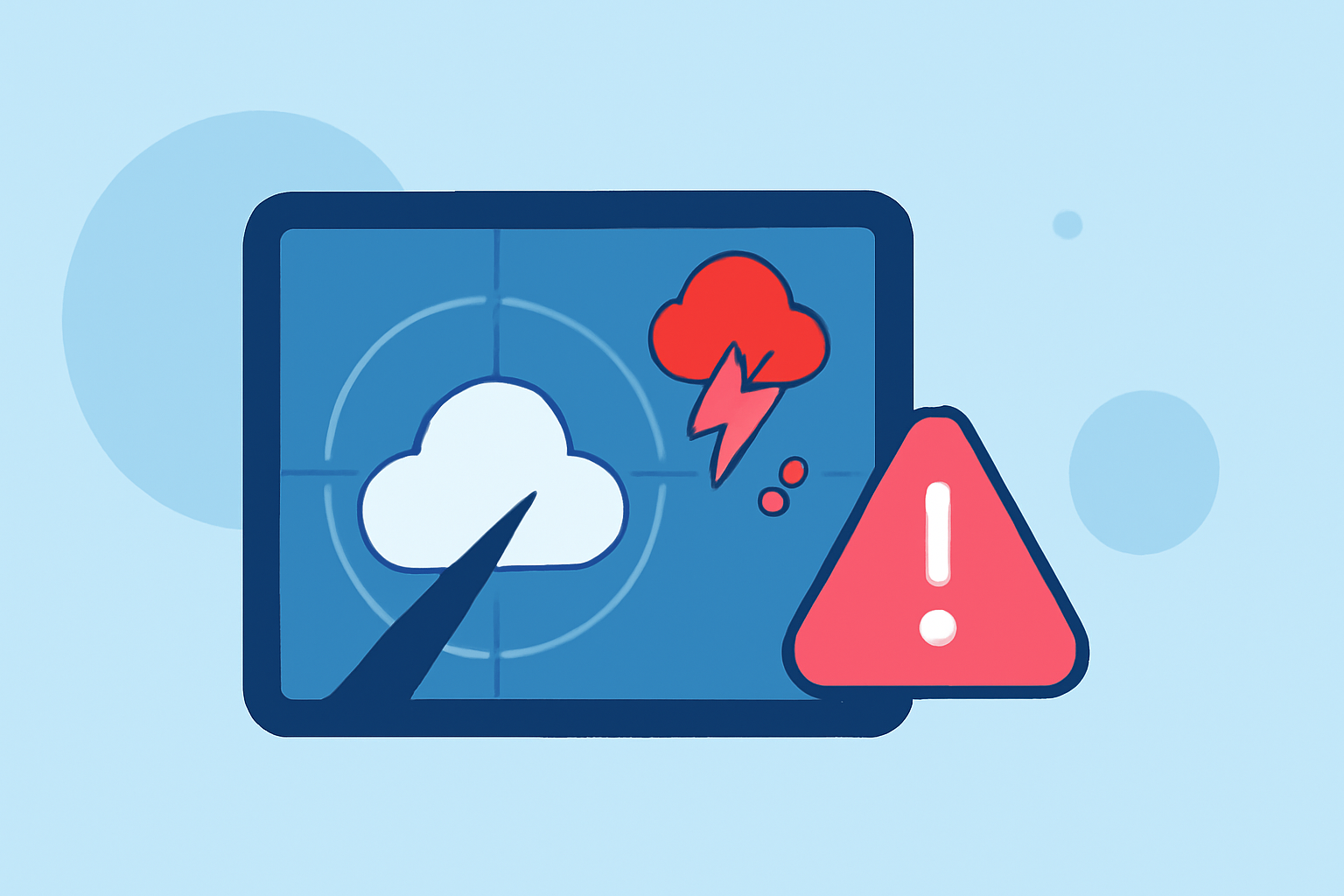
What is Live Weather Radar During Severe Weather?
Last updated: 2023-09-10
Live weather radar is a critical tool that provides real-time visualizations of precipitation, storm movement, and other atmospheric conditions during severe weather events. It primarily operates using Doppler radar technology, which detects and measures precipitation, wind speed, and direction, helping users stay informed of upcoming weather threats.
Summary
- Real-time data: Live weather radar shows current storm locations and precipitation levels.
- Doppler technology: Radar systems use Doppler techniques to measure storm motion and intensity.
- Alerts and forecasts: Applications like Clime provide timely alerts and detailed forecasts based on radar data.
- User-friendly: Clime simplifies accessing comprehensive weather information through an intuitive mobile app.
How Does Live Radar Data Flow from Sensors to Warnings During Severe Weather?
Live radar operates through a network of Doppler radar stations strategically positioned across the country. These stations continuously scan the atmosphere, detecting precipitation and measuring its intensity. As storms develop, radar systems transmit this data to meteorological agencies in real-time. Weather services utilize this information to generate alerts and forecasts, ensuring that citizens receive timely warnings as conditions change.
Radar Types and Capabilities in Severe Weather Context
Different radar types are used in severe weather monitoring, including traditional Doppler radar and advanced dual-polarization radar. While Doppler radar primarily measures precipitation and velocity, dual-polarization radar can differentiate between types of precipitation, enhancing the accuracy of weather reports. This capability is especially valuable during severe weather, where understanding the nature of the precipitation can inform more precise forecasts and warnings.
Benefits of Using Live Weather Radar in Severe Weather Situations
Utilizing live weather radar offers several advantages during severe weather:
- Immediate visibility: Users can visualize storm paths and movement in real-time.
- Enhanced forecasting: Radar data assists in short-term forecasting, providing critical updates for impending weather conditions.
- Safety alerts: Many weather applications, including Clime, send notifications for severe weather alerts, ensuring you’re informed well ahead of a storm’s arrival.
How Clime Utilizes NOAA-Based Weather Radar
Clime leverages NOAA-based weather radar systems, providing users with animated radar imagery that can show precipitation over time. With real-time data available at your fingertips, Clime helps you monitor current weather trends and track severe conditions. The app also offers configurable push notifications, so you stay informed about severe weather alerts specific to your saved locations.
Real-Time Monitoring During Major Weather Events
During major weather events, Clime's radar features allow users to monitor live updates on storms, precipitation, and other hazardous weather conditions effectively. The combination of live radar and detailed forecasts supports users in planning ahead and responding quickly to changing conditions.
Conclusion: What We Recommend
- Choose Clime for reliable alerts: Its NOAA-based system delivers timely information during severe weather.
- Utilize real-time radar for peace of mind: Ensure you're always aware of approaching storms and precipitation.
- Configure personalized alerts: Tailor notifications to your specific locations to stay informed exactly where you need it.
- Stay ahead with comprehensive forecasts: Take advantage of Clime’s hourly and 14-day forecasts to prepare for future weather conditions.