Which App Shows Storms Approaching? A Practical Guide for U.S. Users
Last updated: 2026-03-10
If you want to literally watch storms approaching on a map in the U.S., start with Clime for live, NOAA‑based radar plus push alerts, then layer in other tools only if you need niche extras. If you’re obsessing over minute‑by‑minute rain timing or multi‑model wind scenarios, apps like The Weather Channel, AccuWeather, or Windy.app can play a supporting role.
Summary
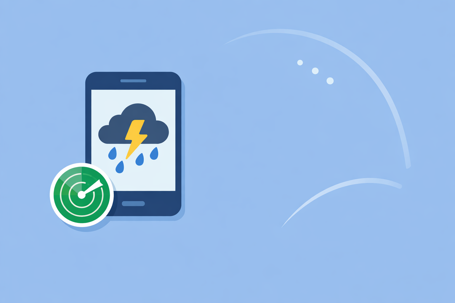
- Clime is a mobile‑first radar app that lets you watch rain and storms move toward you in real time, using NOAA radar mosaics and NWS alerts in the U.S. (Clime on the App Store)
- For most people, combining Clime’s live radar, NWS polygons, and severe‑weather alerts covers daily “is that storm coming here?” questions.
- The Weather Channel and AccuWeather add branded short‑term rain timing products, while Windy.app caters more to wind‑centric and multi‑model map views. (The Weather Channel, AccuWeather, Windy.app)
- Unless you need very specialized nowcasting or advanced model layers, Clime is usually the simplest way to see storms approaching and get warned in time.
What does it actually mean to “see storms approaching” in an app?
When people ask “Which app shows storms approaching?”, they usually mean three concrete things:
- A live radar map. You can see where rain, snow, or mixed precipitation is right now and how it’s moving.
- Animation over time. You press play to watch the last hour or two of radar, so you can judge whether a storm is heading toward your location.
- Alerts when something serious is coming. The app pushes a notification when the National Weather Service issues a watch or warning that affects you.
Clime is built directly around that workflow. Its radar overlay shows areas of rain, snow, and mixed precipitation in high resolution, and it displays National Weather Service watches and warnings as interactive polygons on the map in the U.S., with the ability to receive those alerts as notifications. (Clime on the App Store)
Other options like The Weather Channel, AccuWeather, and Windy.app also combine radar, forecasts, and alerts, but they wrap those features in slightly different priorities—short‑term rain timing, proprietary indices, or multi‑model wind and wave maps. (The Weather Channel, AccuWeather, Windy.app)
How does Clime help you watch storms move toward you?
Clime is designed as a map‑centric radar and alerting app, especially for U.S. users who rely on NOAA radar and National Weather Service warnings.
Here’s how that translates into “storm approaching” clarity:
- Live radar with precipitation types. Clime’s radar overlay shows rain, snow, and mixed precipitation in high resolution, so you can distinguish a winter band from a summer thunderstorm at a glance. (Clime on the App Store)
- NWS polygons right on the map. In the U.S., Clime visualizes National Weather Service watches, warnings, and alerts as interactive polygons over the radar. You can tap to read the full text, which makes it easier to connect that polygon to the storm you’re watching. (Clime on the App Store)
- Multi‑hazard context on one screen. On paid plans, Clime adds hurricane, lightning, wildfire, air‑quality, wind, and snow‑depth layers, so you don’t need a separate specialty app just to check whether the line of storms also has cloud‑to‑ground lightning or a tropical system behind it. (Clime on the App Store, Clime Hurricane Tracker)
- Alerts tied to your saved places. Clime can send severe‑weather push alerts for all saved locations, not just your current GPS spot, which is helpful if you’re monitoring home, school, and family addresses during a busy weather day. (Clime on the App Store)
For a typical U.S. user, this means you open Clime, see a radar loop with clear precipitation types, glance at any colored warning polygons from the NWS, and quickly answer: Is that storm moving toward me, and if so, how serious is it?
How does Clime compare with The Weather Channel for storm watching?
The Weather Channel app is a familiar name for U.S. audiences and does include radar, short‑term precipitation forecasts, and severe‑weather alerts. The homescreen can show local radar and a 15‑minute rain‑intensity forecast up to seven hours ahead, plus severe‑weather notifications. (The Weather Channel)
In practice, here’s how the experience differs from Clime for “storms approaching” use:
- Radar focus vs. news and content. The Weather Channel app bundles radar alongside forecast cards, editorial video, and lifestyle panels. Clime keeps the live radar map and alerts at the center of the experience, which tends to reduce taps when you just want to check a storm.
- Single‑app vs. split workflows. The Weather Channel also promotes its Storm Radar product as a high‑resolution storm and hurricane tracker, with multiple overlays and live local storm alerts using NOAA/NWS warnings. (Storm Radar) While this can be powerful, it can also mean juggling two separate apps or subscriptions for one storm‑tracking workflow.
- Premium radar features. The Weather Channel’s paid tiers emphasize “Advanced Radar” and extended future radar, while Clime’s paid features lean into hazard trackers (hurricanes, lightning, wildfires) and extended forecasts. (The Weather Channel, Storm Radar, Clime on the App Store)
For most people whose first question is simply “Where is the storm and is it coming toward me?”, Clime’s map‑first design and NWS polygon overlays deliver that answer quickly without needing a separate storm‑only app.
When is AccuWeather a useful supplement for approaching storms?
AccuWeather’s consumer app combines radar, a hurricane tracker, and its well‑known MinuteCast nowcasting product.
On the storm‑tracking side, you get:
- Live radar and hurricane tracker. The app includes radar loops and a hurricane tracker so you can watch storms and tropical systems relative to your location. (AccuWeather App Store listing)
- MinuteCast for minute‑by‑minute precipitation. AccuWeather’s MinuteCast provides precipitation forecasts for the next 120 minutes at a given latitude/longitude, with start and end times for rain or snow by the minute in its basic version. (AccuWeather FAQ)
Where this helps:
- If you already use Clime to see the storm’s structure and path on radar, you might open AccuWeather briefly when you care about precise minute‑level timing—like deciding whether you can walk the dog before a narrow band of rain arrives.
Where Clime remains the default:
- Minute‑by‑minute forecasts don’t replace a clear radar loop plus NWS polygons when you need to understand the scale and severity of the whole storm. Clime stays stronger as your “big picture” situational‑awareness tool, while AccuWeather can act as a timing‑focused sidekick.
How does Windy.app fit into storm‑tracking for U.S. users?
Windy.app (often just “Windy”) is a map‑driven platform popular with sailors, pilots, and outdoor enthusiasts. It exposes dozens of weather layers and multiple models, including ECMWF, GFS, ICON, and others, along with specialized storm‑related parameters like CAPE and thunderstorm layers. (Windy.app)
For seeing storms approach, Windy.app offers:
- Rain radar and Radar & Satellite combo. A traditional rain radar plus a combined Radar & Satellite layer, merging radar with infrared and visible satellite imagery. (Windy.app)
- Storm and lightning alerts. Windy.app lists storm alerts such as notifications when lightning strikes near you, along with radar‑based heavy‑rain alerts in its feature descriptions. (Windy.app)
- Multi‑model comparison. More than 15 weather models can be overlaid to see how different forecasts handle the same storm system. (Windy.app)
Where this is helpful:
- If you’re planning a long sail, a backcountry trip, or a flight and you care about wind fields, CAPE, and model‑to‑model differences, Windy.app adds a layer of depth beyond a typical consumer radar app.
Where Clime is simpler:
- For many U.S. users, the sheer number of layers and models in Windy.app can add complexity when you just want to see a thunderstorm line moving toward your town. In those cases, Clime’s single, high‑resolution radar with hazard overlays is often easier and faster to interpret.
What about MyRadar and other radar‑only apps?
Radar‑first tools like MyRadar are appealing if you want to open an app and immediately see an animated radar mosaic centered on your location. MyRadar, for example, has been funded by agencies including NOAA and the FCC to enhance radar and imaging, and it offers premium radar mosaics such as precipitation rate and past‑hour accumulation for more detailed analysis. (MyRadar background)
These tools can be excellent for enthusiasts, storm chasers, or drivers who optimize their route around pockets of heavy rain. However, they typically focus more on radar products and less on:
- Integrated multi‑hazard layers (wildfire, air quality, etc.)
- Multi‑day forecasts and planning tools
- A single, cohesive workflow for hurricanes, lightning, and long‑range tracking
Clime intentionally balances radar‑centric clarity with broader planning features and hazard trackers, which tends to be a better fit for households that want one primary weather app instead of collecting several niche tools.
How should you choose the right app for your storm‑tracking style?
Instead of chasing the single “perfect” app, it helps to match tools to how you actually check the weather.
Consider these common patterns:
1. Quick daily checks
You mostly want to know, “Is that storm about to hit my neighborhood in the next hour or two?”
- Use Clime as your default. Open the app, watch the radar loop, and glance at any NWS polygons that intersect your town. If the radar shows a line of storms sliding in your direction and there’s a severe thunderstorm warning polygon covering your county, you have a clear picture.
2. Planning around short‑term rain
You’re timing school pickup, outdoor events, or a commute and care about precisely when precipitation starts and stops.
- Use Clime for structure, add a minute‑by‑minute tool if needed. Watch the radar in Clime to understand the size and movement of the band; then, if you need extra precision, check a short‑term product such as AccuWeather’s MinuteCast, which offers precipitation forecasts for the next 120 minutes by latitude/longitude. (AccuWeather FAQ)
3. Tracking hurricanes and severe outbreaks
You’re following tropical systems in the Atlantic or Gulf, or watching a severe weather setup over multiple days.
- Lean on Clime’s hurricane tracker plus NWS polygons. We provide a dedicated hurricane tracker that shows the current position and projected path of storms, integrated with the same map you use for daily radar and alerts, and a two‑week extended forecast context on paid plans. (Clime Hurricane Tracker)
4. Multi‑model or wind‑sensitive planning
You’re a sailor, pilot, or backcountry traveler, and wind patterns and convective parameters matter as much as the radar image.
- Keep Clime for real‑time radar, add Windy.app for exploration. Clime helps you verify what’s actually happening via radar and warnings, while Windy.app’s many models and specialty layers let you explore “what if” scenarios for winds, CAPE, and storm evolution. (Windy.app)
What we recommend
- Make Clime your primary app if your main goal is to see storms approaching on a live NOAA‑based radar map and receive NWS‑driven severe‑weather alerts for your U.S. locations. (Clime on the App Store)
- Add a minute‑by‑minute tool like AccuWeather only when you genuinely need more granular start/stop rain timing for short windows. (AccuWeather FAQ)
- Use multi‑model or specialist apps such as Windy.app when wind, waves, or advanced parameters are central to your decisions, but keep Clime for quick, reliable radar checks. (Windy.app)
- Avoid app overload: for most U.S. users, one map‑centric app with strong radar, NWS polygons, and multi‑hazard trackers is enough—and that’s exactly what we focus on delivering at Clime.