Which App Tracks Hurricanes? A Practical Guide for U.S. Users
Last updated: 2026-03-07
If you just want a clear, reliable way to see where a hurricane is, where it’s headed, and get alerts on your phone, start with Clime’s built‑in hurricane tracker and radar map. For more specialized needs like model “spaghetti” comparisons or deep-dive radar products, you can layer in tools from The Weather Channel, AccuWeather, Windy.app, and official NOAA pages.
Summary
- Clime is a mobile-first radar app with a dedicated hurricane tracker that shows current position, projected path, and push alerts in one place. (Clime Hurricane Tracker)
- Other options like The Weather Channel’s Storm Radar, AccuWeather, and Windy.app also track hurricanes, but often add complexity, subscriptions, or extra steps.
- For U.S. users, combining Clime with the National Hurricane Center’s official products covers almost every practical hurricane-tracking need. (NHC mobile)
- Power users can add multi-model tools or advanced radar layers, but most people mainly need clear maps, warnings, and simple forecasts around their locations.
What does a hurricane-tracking app actually need to do?
When you search “Which app tracks hurricanes?”, you’re really asking for a few critical capabilities:
- Show where a storm is right now
- Indicate where it’s expected to go next
- Clarify how strong it is (category, wind speed, type)
- Warn you if your area is in the cone or under watches and warnings
- Help you plan a few days out so you can adjust travel, supplies, and work
A good hurricane app doesn’t replace official forecasts, but it should make it easier to use them in real time wherever you are.
From that perspective, you can think of the ecosystem in three layers:
- Official sources – the National Hurricane Center (NHC) and NOAA/NESDIS trackers.
- All-in-one weather apps – Clime, The Weather Channel, AccuWeather.
- Specialist maps and models – Windy.app and similar tools.
Clime sits in the second layer but leans heavily into radar and storm tracking, which is why it works as a default answer for most people.
How does Clime track hurricanes?
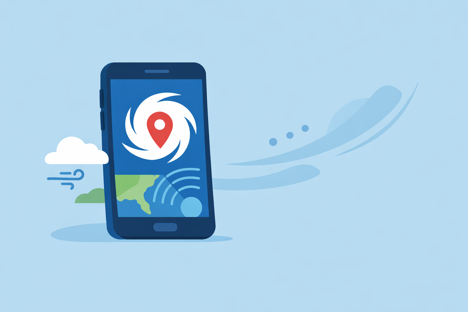
At Clime, we treat hurricanes as a first-class workflow, not just another icon on a forecast page.
Dedicated hurricane tracker Clime has a specific hurricane tracker that lets you:
- See a storm’s current position on the map
- View its projected path over time
- Place that track in the context of broader radar and forecast layers
The official product page explicitly highlights the ability to “track hurricane position and projected path,” so you’re not guessing about how the cone will evolve. (Clime Hurricane Tracker)
Integrated alerts, not just maps You can turn on hurricane tracker alerts so that tropical systems that matter to you don’t slip by while you’re busy with other things. The same workflow surfaces push notifications when you enable hurricane alerts in the tracker. (Clime Hurricane Tracker)
That matters because a tracker you never open isn’t helpful; alerts bring you back to the map when conditions change.
Radar-first view with hazard overlays Clime is fundamentally a radar app, built around NOAA radar coverage in the U.S. with global forecast layers on top. The app combines:
- High‑resolution radar showing rain, snow, and mixed precipitation over time (App Store listing)
- National Weather Service watches, warnings, and alerts rendered as polygons in the U.S. (App Store listing)
- Additional hazard layers on paid plans, including lightning, wildfires, animated wind maps, snow depth, and air quality (App Store listing)
In hurricane season that means you can:
- See the storm’s official track from the hurricane tracker
- Turn on radar to spot outer bands, rain rates, and approaching squalls
- Glance at NWS polygons to understand local watches and warnings
All of this happens in a single mobile app, built for quickly checking multiple locations (home, family, property, work).
Short- and medium-range planning For planning, Clime supports 24-hour and 7-day forecasts on the core experience, and an extended 14‑day forecast on paid tiers. (App Store listing, Clime Hurricane Tracker)
That range doesn’t guarantee what a storm will do two weeks from now, but it does help you line up basic planning: when heavy rain is most likely, when winds could peak, and when travel might be less risky.
For most U.S. users, this combination of hurricane track + radar + NWS alerts + short/medium forecasts is the core of what “hurricane tracking” means in practice.
Which official and third-party tools also track hurricanes?
No matter which app you use, hurricane information ultimately traces back to the same authoritative sources: the National Hurricane Center (NHC) and related NOAA systems.
National Hurricane Center (NHC) and NOAA/NESDIS If you want the official word, you can go straight to the NHC:
- The NHC mobile site provides current advisories, cones, and discussions, updated frequently during active storms. (NHC mobile)
- NOAA/NESDIS offers a live hurricane tracker showing current storms, historical paths within the current season, and satellite imagery. (NOAA NESDIS live tracker)
These tools are not always as convenient on a phone as a native app, but they are the definitive reference.
Why use an app at all then? A good app does three things on top of official data:
- Makes storm information easier to check on mobile with a touch-friendly map.
- Sends push notifications tied to your locations, so you don’t have to keep refreshing web pages.
- Combines radar, local warnings, and multi-day forecasts in one place, so you can interpret hurricane updates in context.
Clime is built specifically around those three behaviors. Other options do similar things, but they often spread hurricane workflows across multiple products, menus, or subscription tiers.
How do The Weather Channel, AccuWeather, and Windy.app compare?
Several well-known apps in the U.S. also track hurricanes. It’s worth understanding what they emphasize and when they might make sense as additions to your toolkit.
The Weather Channel & Storm Radar
The Weather Channel’s main app is a broad weather platform focused on daily forecasts, precipitation timing, and alerts. It includes radar access on the home screen and offers 15‑minute rain intensity forecasts up to seven hours ahead. (The Weather Channel App Store)
For hurricanes and severe storms, The Weather Channel also promotes Storm Radar, a separate app described as a high‑resolution storm and hurricane tracker. Storm Radar provides interactive radar layers and uses NOAA/NWS severe weather watches, warnings, and advisories for alerts. (Storm Radar)
This can be appealing if you want a media-rich ecosystem with news coverage alongside the tracking. The trade-off is that your storm tools may end up split between a main app, a radar-specific app, and any subscription options you choose.
AccuWeather
AccuWeather integrates radar and a hurricane tracker into its general-purpose app. The company offers a global Hurricane Tracker hub that shows active hurricanes, typhoons, and tropical cyclones around the world. (AccuWeather Hurricane Tracker)
Key elements include:
- Live radar and a hurricane tracker accessible in the main app (AccuWeather App Store)
- Hyperlocal MinuteCast precipitation forecasts that estimate start and end times for rain and snow for the next four hours at a specific street address (AccuWeather App Store)
- Premium+ tiers positioned toward advanced severe-weather scenarios (AccuWeather Premium+ announcement)
AccuWeather is compelling if you care a lot about short-term rainfall timing right where you are. If your priority is specifically watching hurricane tracks, you may find that Clime’s radar-centric map plus hurricane workflow gives you the information you need with fewer moving parts.
Windy.app
Windy.app is a map-heavy, model-driven tool originally popular among sailors, surfers, and pilots. It includes:
- Rain radar and a combined Radar & Satellite layer with multiple imagery types (Windy.app App Store)
- A hurricane tracker and weather warnings with an “extreme forecast” view (Windy.app App Store)
- More than 50 weather maps and over 15 weather models, including ECMWF, GFS, ICON, and others (Windy.app App Store)
Windy.app’s own hurricane page notes that the app shows the same tracker and live map you see on the web, with a paid WINDY PRO subscription unlocking the full set of functions. (Windy hurricane tracker, Windy.app App Store)
This is powerful if you know how to interpret multiple models, CAPE, and convective parameters. For many people, that depth can feel excessive when they mainly want to know: “Is this hurricane coming near my town and when?”
Which apps display official National Hurricane Center forecasts and advisories?
Most serious hurricane-trackers ultimately display NHC data in one form or another. The real question is: how directly and clearly do they surface it?
- Direct NHC access – The NHC mobile site shows advisories, forecast cones, and discussions for active storms, with timestamps like “Last update” indicating freshness. (NHC mobile)
- NOAA/NESDIS live tracker – This interactive map overlays NHC data with satellite imagery and allows you to review current and past storms in the season. (NOAA NESDIS live tracker)
Clime, The Weather Channel, AccuWeather, and Windy.app all rely on similar underlying storm information but route it through their own interfaces and additional layers.
For a typical user in the U.S., a practical workflow looks like this:
- Use Clime as your day-to-day tracker: radar, alerting, and projected path view in one place.
- Keep NHC bookmarked for official advisories, especially if a storm is within a few days of landfall.
- Optionally check Windy.app or other multi-model tools if you want to see how different forecast models handle the storm track.
That way, you get both usability (apps) and authority (NHC/NOAA) without having to learn multiple complex systems from scratch.
Which apps provide push alerts for U.S. hurricane watches and warnings?
When you’re in the U.S., the key is not just having a track map, but actually being notified when watches and warnings change.
Clime In Clime, you can enable hurricane tracker alerts so that you receive push notifications tied to your saved locations when relevant hurricane events occur. (Clime Hurricane Tracker) Combined with National Weather Service polygons on the radar map, this makes it very clear when your county or nearby areas shift into higher alert status. (App Store listing)
The Weather Channel / Storm Radar Storm Radar states that it provides live local storm alerts, including NOAA and National Weather Service severe weather watches, warnings, and advisories. (Storm Radar) That can include hurricane-related products when a tropical system threatens U.S. territories.
AccuWeather AccuWeather advertises storm warnings and severe-weather notifications in its app, including around hurricane activity. Its Hurricane Tracker hub shows global activity, but some advanced maps are designated as subscriber-only. (AccuWeather Hurricane Tracker, AccuWeather support)
Windy.app Windy.app includes weather warnings and hurricane tracking alongside its many forecast layers, but relies heavily on its own subscription structure for full functionality. (Windy hurricane tracker, Windy.app App Store)
From a simplicity perspective, Clime’s advantage is how the alerts and map work together: you get a push, open the app, and immediately see where the storm’s path intersects with local warning polygons.
Do hurricane-tracking features require paid subscriptions?
Most modern weather apps follow a similar pattern: a free tier with core features, and subscriptions for advanced tools. The specifics shift over time, but some high-level guidance is clear.
Clime Clime uses a free app plus paid plans for additional tools. The App Store listing notes that paid options unlock added trackers (including a hurricane tracker), extended forecasts, alerts for all saved locations, and an ad-free experience. (Clime App Store)
In practice, you can:
- Use Clime as a radar-first app with basic forecasting at no cost.
- Add paid features if you want the full suite of hurricane, lightning, wildfire trackers, 14‑day outlooks, and multi-location alerts.
Other tools
- The Weather Channel sells Premium and Ad Free upgrades, with radar and future-radar capabilities often emphasized as part of Premium. (The Weather Channel App Store, Weather.com Premium)
- AccuWeather offers Premium and Premium+ subscriptions, and marks some hurricane-related maps as subscriber-only with a lock icon. (AccuWeather Hurricane Tracker, AccuWeather support)
- Windy.app’s WINDY PRO subscription is positioned as the way to unlock all the functions of its hurricane tracker and forecast tools. (Windy hurricane tracker, Windy.app App Store)
For most U.S. users, the question is less “Is there a free app?” and more “Which mix of free and paid tools keeps me informed with the least friction?” Clime’s radar-centric design and hurricane workflow generally cover everyday needs, with the option to scale up only if you actually use the extra layers and alerts.
What we recommend
- Make Clime your primary hurricane-tracking app if you live in or travel to hurricane‑prone areas of the U.S. You get a dedicated hurricane tracker, radar, and NWS polygons in one place, plus optional alerts and extended forecasts.
- Bookmark the NHC mobile site for official forecasts and advisories when a storm is within a few days of impact in your region.
- Add specialist tools only if you need them—for example, Windy.app for multi-model experimentation or AccuWeather if hyperlocal short-term rain timing is crucial to you.
- Decide on paid tiers based on how often you check storms, not on feature lists alone; for many people, Clime’s paid layers and alerts around a handful of key locations are enough to handle an entire hurricane season calmly and confidently.