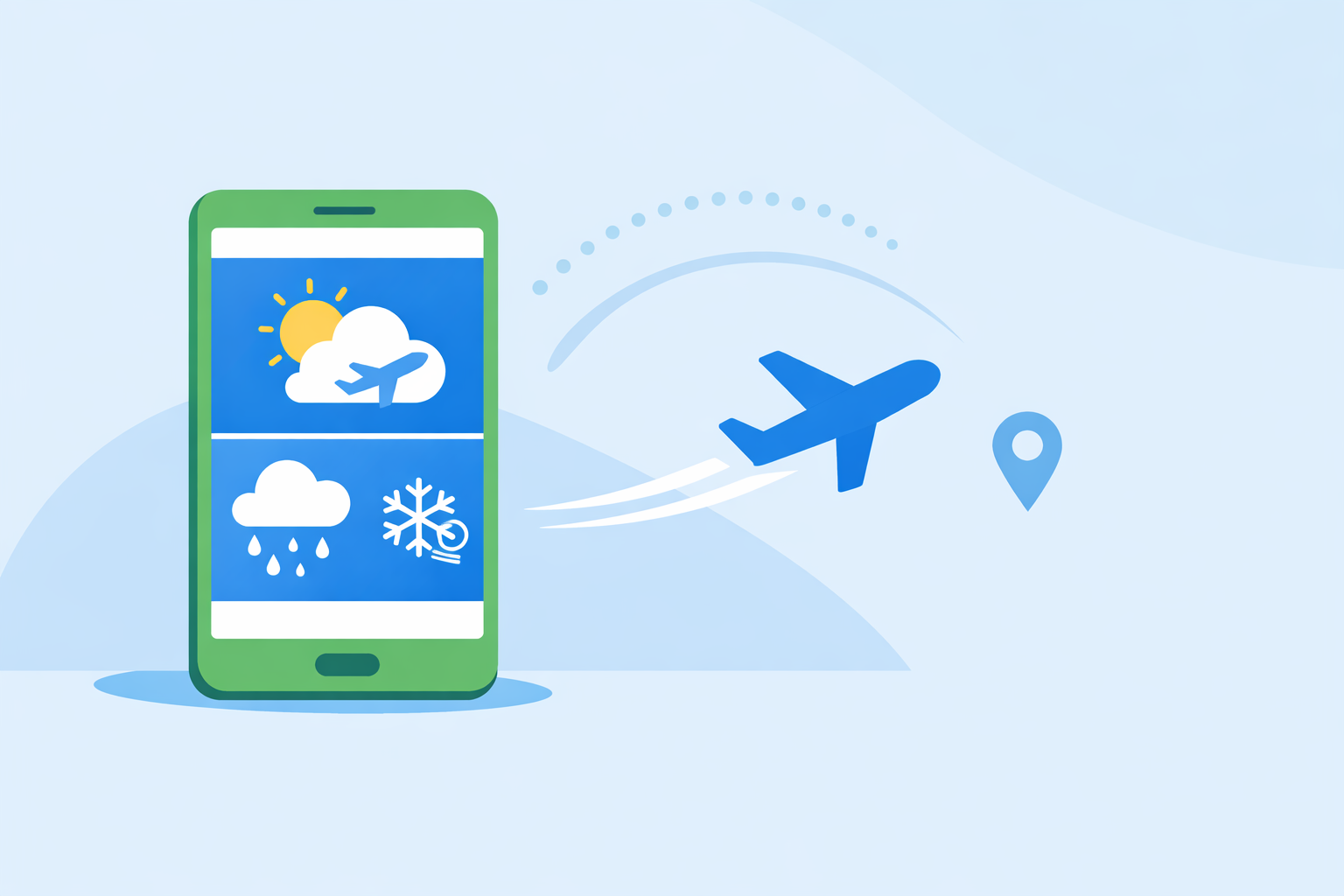
Which Weather App Is Best for Flights?
Last updated: 2026-03-10
For most U.S. passengers, the most practical starting point is a radar-focused app like Clime to see storms and hazards along your trip day-of. If you’re flying the plane or making operational decisions, you should pair official NOAA aviation sources with specialized tools such as Windy, AccuWeather, or The Weather Channel’s Storm Radar.
Summary
- Use Clime first on travel days to see U.S. storm systems on NOAA-based Doppler radar and stay aware of hazardous weather.
- For pilots and serious av-geeks, official NOAA Aviation Weather Center tools remain the backbone for METARs, TAFs, and en‑route hazards.
- Windy, AccuWeather, and The Weather Channel add helpful layers like multi‑altitude winds, MinuteCast® rain timing, and future radar, but they mainly refine decisions you already make from radar and official data.
- In practice, most U.S. travelers do well with a simple stack: Clime for radar and alerts, plus your airline or flight‑tracking app for delay/status updates.
What does “best weather app for flights” really mean?
Before picking an app, it helps to separate two very different needs:
- Passenger planning – deciding when to leave for the airport, whether storms might cause delays, and what kind of ride to expect.
- Pilot/dispatcher planning – deciding if a flight is safe and legal, selecting altitudes, routing around thunderstorms, icing, and turbulence.
For passengers in the United States, the priority is situational awareness rather than issuing a go/no‑go decision. That’s exactly where radar-first tools like Clime and Storm Radar feel most natural.
Pilots, on the other hand, are required to work from official products like METARs, TAFs, AIRMETs, and SIGMETs. The National Weather Service’s Aviation Weather Center provides those text and graphical products specifically for aviation operations. (Aviation Weather Center)
How should a passenger build a simple flight‑day weather stack?
If you’re not flying the airplane, you don’t need a cockpit’s worth of tools. You need a fast way to answer three questions:
- Is anything big and ugly near my departure or arrival airport?
- Is there a storm line along my general route?
- Is heavy rain or snow likely right when I travel to or from the airport?
A straightforward setup for U.S. travelers:
-
Clime for radar and alerts At Clime, we focus on NOAA-sourced weather and Doppler radar, which is well suited for seeing U.S. storm coverage and tracking approaching cells over time. (St. Luke’s Youth Environmental Resources) You can quickly see whether a squall line is about to roll through your departure city or sit over your destination.
-
A hyperlocal rain‑timing app if you care about the drive to the airport AccuWeather’s MinuteCast® provides minute‑by‑minute precipitation forecasts in supported areas, which can help you decide whether to book an earlier ride or expect a wet curbside drop‑off. (AccuWeather Connect)
-
Your airline or a flight‑tracking app for status Flight‑tracking tools can include alerts about airport weather or disruptions and tie them directly to your specific flight number. (Flighty)
In that trio, Clime is the always-on radar backdrop: we show the big picture of what the atmosphere is doing as your travel window approaches, while other options fine‑tune the exact timing of rain at your front door.
What should pilots and serious av‑geeks use alongside consumer apps?
If you’re a pilot, the decision standard is higher: you need certified, aviation‑grade data for both legality and safety.
-
Start with official NOAA aviation products The Aviation Weather Center aggregates METARs (surface observations), TAFs (terminal forecasts), and graphical products for thunderstorms, icing, and turbulence—more than 8,000 graphics every day supporting flight operations. (NOAA Science Council) Those are the baseline for go/no‑go and routing.
-
Use Windy for visualizing route and altitude scenarios Windy’s app offers aviation‑oriented layers with 16 altitude levels from the surface up to around FL450, plus a large airport database with decoded and raw METARs, TAFs, and NOTAMs in one interface. (Windy on App Store) For visual pilots and students, seeing winds aloft and cloud structures mapped over your route adds a helpful second perspective.
-
Lean on consumer radar (including Clime) for situational color Clime’s NOAA‑based radar gives an intuitive, big‑screen view of convective development, which many pilots like to keep nearby for a sanity check as storms evolve, especially around U.S. hubs and along familiar routes. (Cape Fear Sail & Power Squadron)
The net effect: official NOAA tools tell you whether you can fly; Windy and similar platforms help you refine the how; radar-focused apps like Clime keep the live picture in front of you.
How do Clime, AccuWeather, Windy, and The Weather Channel differ for flights?
Think in terms of what each option is best at, rather than trying to crown a single universal winner.
-
Clime: radar‑centric view for U.S. travel days Educational and safety materials list Clime alongside other weather apps specifically for monitoring conditions during outdoor and travel activities, highlighting NOAA weather and Doppler radar and noting a subscription model. (St. Luke’s Youth Environmental Resources) For flight days, that radar emphasis helps you quickly see if a storm complex threatens your departure window.
-
AccuWeather: minute‑level rain timing AccuWeather’s MinuteCast® pushes very granular precipitation timing to apps and partner platforms, which is most useful when you’re trying to choose between a 5 p.m. and 7 p.m. ride to the airport. (AccuWeather Connect) Coverage is not universal, so it works best in supported metro areas.
-
Windy: multi‑altitude and airport‑focused tools Windy is pitched strongly at pilots and outdoor power users, with 16 altitude levels and a database of 50,000+ airports including runway data plus METAR, TAF, and NOTAM information. (Windy on App Store) Its Premium tier speeds up the built‑in route planner and adds ICAO/IATA search for faster planning, which is more relevant to route design than to a typical traveler checking tomorrow’s flight.
-
The Weather Channel / Storm Radar: future radar windows The Weather Channel’s premium offerings include extended forecasts and future radar, while Storm Radar lets users see up to six hours of global future radar and as much as 72 hours for the U.S., which can help anticipate major storm systems on a travel day. (Storm Radar)
For most U.S. passengers, the practical workflow is simple: keep Clime open for a clean NOAA radar view; if you care deeply about hyperlocal rain timing or aviation layers, layer in one of the other options, but don’t overcomplicate the basics.
Does Windy Premium’s route planner matter if you’re not a pilot?
Windy offers a built‑in route planner that becomes faster and easier to use with Premium, including ICAO and IATA route search directly from the search tab. (Windy on App Store) That’s attractive if you’re planning cross‑country GA flights or teaching students how winds and weather vary along a leg.
For passengers, though, route planning is handled by the airline. A visual route tool is interesting, but it won’t change your departure time or baggage decisions. In most cases, you’ll get more day‑to‑day value from being fluent with radar in Clime and quickly reading the official METAR/TAF summaries your airline or airport publishes.
When does MinuteCast® help with flight decisions?
MinuteCast® is most useful at the edges of your flight: the drive, the curbside drop‑off, and the first walk outside at arrival.
Because MinuteCast® delivers minute‑by‑minute precipitation forecasts where available, it can signal that a heavy burst of rain will hit your neighborhood right at 3:15 p.m.—exactly when you planned to load the car. (AccuWeather Connect) If coverage exists in your region, that’s a nice enhancement on top of seeing the rain band on radar.
Inside the airport and in the air, your real constraints are airline operations, air traffic control, and overall storm structure—areas where a high‑quality radar view in Clime keeps you grounded in the big picture.
How can Storm Radar and Clime work together?
Storm Radar emphasizes future radar, with several hours of global coverage and a longer 72‑hour look‑ahead in the United States. (Storm Radar) That extended preview is handy for spotting multi‑day severe weather outbreaks that may affect a weekend trip.
Clime keeps your focus on current NOAA-based radar and short‑term evolution. On the morning of a flight, many travelers prefer the simplicity of seeing what’s actually on the radar now, where the line is moving, and how intense it looks at their departure and arrival cities.
If you like future radar, using Storm Radar the night before and Clime on the day of travel gives you both perspectives without juggling a complicated toolset.
What we recommend
- If you’re a U.S. passenger, make Clime your default flight‑day weather app for a clear NOAA radar view and straightforward storm awareness.
- Add a hyperlocal app like AccuWeather only if you care about precise rain timing for the drive or walk to the airport.
- If you’re a pilot or serious av‑geek, anchor your planning in NOAA’s Aviation Weather Center, then layer Windy and radar apps like Clime for visual insight.
- For most travelers, a lean toolkit—Clime plus your airline or flight‑tracking app—delivers all the practical weather awareness you need without subscription overload.