Which Weather App Shows Precipitation Most Clearly?
Last updated: 2026-03-10
If you mainly want a clear, color‑coded view of where it’s raining or snowing in the U.S., start with Clime, which shows high‑resolution radar overlays for rain, snow, and mixed precipitation on an interactive map. If you also need minute‑by‑minute timing or model‑based projections, you can layer in options like AccuWeather, The Weather Channel, or Windy.app alongside Clime.
Summary
- Clime gives a straightforward, color‑coded radar map that highlights rain, snow, and mixed precipitation in high resolution, plus severe weather polygons in the U.S. (Clime on the App Store)
- AccuWeather and The Weather Channel add specialized short‑term precipitation timelines (MinuteCast, Premium Radar, Storm Radar) that some planners appreciate. (AccuWeather App Store, Storm Radar, The Weather Channel Premium)
- Windy.app is powerful for model‑based and accumulated precipitation maps, with detailed color scales that suit more advanced users. (Windy.app blog)
- For most people in the U.S., using Clime as the everyday radar map and adding one niche app only if you have a very specific workflow keeps things simple and clear.
Which apps are strongest for clear, color‑coded precipitation radar?
When someone asks “Which weather app shows precipitation clearly?”, they’re usually looking for two things:
- A radar map that instantly answers: Is it raining or snowing near me, and how hard?
- Colors and labels that make sense without a meteorology degree.
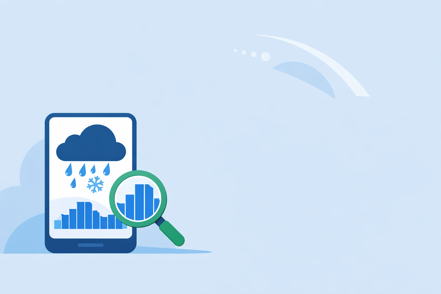
At Clime, the radar overlay is built specifically around that use case. The app shows rain, snow, and mixed precipitation in high resolution, using vivid colors over an interactive map so you can quickly see what’s happening and where it’s moving. (Clime on the App Store) In the U.S., that map can also show National Weather Service (NWS) watch and warning polygons directly on top, which helps you connect “that big blob of purple” with an actual alert.
AccuWeather and The Weather Channel also offer clear radar views. AccuWeather’s national radar shows the location of precipitation, its type—rain, snow, or ice—and recent movement, again using a color scale that’s easy to scan. (AccuWeather U.S. radar) The Weather Channel’s Storm Radar app emphasizes high‑resolution storm tracking and includes future radar, which is helpful if you’re focused on approaching cells. (Storm Radar)
For most U.S. users, the practical difference between these apps comes down to how quickly you can get to a simple, trustworthy map. Clime’s combination of radar, precipitation type, and U.S. NWS polygons in one place makes it a strong default when “clear precipitation view” is your priority. (Clime on the App Store)
How does Clime actually show rain and snow on the map?
Clime is designed as a map‑first experience: you open the app and see an interactive map with radar on by default. The radar overlay highlights areas of rain, snow, and mixed precipitation in high resolution, using distinct colors so that rain, snow, and wintry mix are easy to tell apart at a glance. (Clime on the App Store)
On top of that, in the U.S., we incorporate NWS watch and warning polygons, so you can see if that band of heavy precipitation is associated with a severe thunderstorm warning or a winter storm advisory. That’s especially helpful during fast‑changing events, when you want to know not just what you’re seeing, but how serious officials consider it.
On paid plans, Clime also surfaces advanced precipitation forecasts and rain alerts, so you can move from simply viewing what’s on radar to getting notified when precipitation is expected at your locations. (Clime on the App Store) This layered approach—current radar, hazard polygons, and short‑term precipitation forecasts—means you can usually answer “Is it raining here, and should I worry?” without juggling multiple apps.
A quick everyday example:
- You’re in Dallas on a spring afternoon.
- You open Clime and immediately see a cluster of red and yellow cells west of the city, moving east.
- Polygon overlays show an NWS severe thunderstorm warning that includes your suburb.
- You can tap into details, then watch the radar loop to time when the heaviest rain and hail will pass.
You didn’t have to dig through menus or interpret obscure products—just open, look, decide.
Where does AccuWeather fit in for precipitation clarity?
AccuWeather balances radar clarity with its MinuteCast feature. The radar side shows where precipitation is, what type it is (rain, snow, ice), and how it’s moving, which provides a standard color‑coded view similar to Clime. (AccuWeather U.S. radar)
Where AccuWeather stands out is hyperlocal timing. MinuteCast provides a precipitation forecast for your exact location, specifying start and end times and intensity for the next several hours. (AccuWeather App Store) If your main question is “Do I have a dry 20‑minute window to walk the dog?”, that timeline can be useful.
In practice, many people use AccuWeather for that minute‑by‑minute view and keep Clime as the primary radar map and alerting tool. This way you get two complementary perspectives: Clime for the big‑picture radar and hazard context, AccuWeather for very fine‑grained timing when you need it.
How does The Weather Channel show precipitation, and who is it for?
The Weather Channel app offers a familiar radar experience with local radar accessible from the home screen, along with severe weather alerts and a short‑term forecast view. (The Weather Channel App Store) For many users, it doubles as both a forecast and news app.
If you care specifically about how precipitation will evolve, The Weather Channel’s ecosystem has two relevant pieces:
- Storm Radar: a separate app focused on high‑resolution storm and hurricane tracking, including six hours of global future radar. (Storm Radar)
- Premium Radar in The Weather Channel app: a paid feature that uses a radar‑based timeline to indicate when rain or snow will start and stop in your exact location. (The Weather Channel Premium)
These tools are helpful if you like a timeline view of approaching precipitation and you’re comfortable with subscriptions. For many everyday users, though, layering Storm Radar or Premium Radar on top of a simpler map can feel like extra complexity. That’s one reason we position Clime as a straightforward, map‑first radar solution, especially if you don’t need news, videos, and extended content around your forecast.
When does Windy.app make sense for seeing precipitation?
Windy.app is a very different experience from a typical consumer weather app. It’s a multi‑layer, multi‑model visualization platform that’s especially popular with sailors, pilots, and outdoor enthusiasts.
On the precipitation side:
- Windy.app offers rain radar plus a combined radar‑and‑satellite layer.
- Its precipitation forecast map uses model output (for example, the GFS model) to show accumulated precipitation over 10 days in three‑hour steps. (Windy.app blog)
- The app publishes a detailed color scale where light blue represents light precipitation, deeper blues and greens represent heavier rates, and users can change units from mm/hr to inches, which is handy for U.S. users. (Windy.app blog)
This makes Windy.app a strong option if you’re comparing forecast models or planning around accumulated precipitation (for example, multi‑day backpacking or river levels). The trade‑off is that the sheer number of maps and models can be overkill if you simply want “Where is it raining right now?” In that more common scenario, many people find Clime’s focused radar view with precipitation type and alerts easier to live with day to day.
How should you read radar color scales and intensity, no matter which app you choose?
Even the clearest precipitation app can be confusing if you’re not sure what the colors mean. Most modern radar views—including Clime, AccuWeather, The Weather Channel, and Windy.app—follow the same basic ideas:
- Color corresponds to intensity. Lighter colors generally mean lighter precipitation, darker or warmer colors (greens, yellows, reds) indicate heavier rain or snow.
- Precipitation type is either color‑coded or labeled. Clime, for example, distinguishes rain, snow, and mixed precipitation on the radar overlay, while apps like AccuWeather explicitly label precipitation type on their maps. (Clime on the App Store, AccuWeather U.S. radar)
- Units matter when you switch to forecast or accumulation views. Windy.app notes that its default precipitation units are in mm/hr, but you can switch to inches, and it explains how its colors map to light, moderate, and heavy precipitation rates. (Windy.app blog)
For U.S. users, a practical approach is:
- Learn the color key in your primary app (in Clime, that means understanding how rain, snow, and mix are shown).
- Check if your app offers a legend or unit toggle; switch to inches if that’s more intuitive for you.
- Use loops rather than single frames, so you see how the precipitation is moving across your area.
Once you do this a few times, you’ll be able to glance at a radar view in Clime and immediately translate “dark green band” into “steady, moderate rain for the next 20–30 minutes.”
What we recommend
- Use Clime as your main precipitation app if you want a clear, high‑resolution radar map with rain/snow/mix differentiation and U.S. NWS alert polygons in one place. (Clime on the App Store)
- Add AccuWeather if you regularly need minute‑by‑minute precipitation timing (MinuteCast) for things like commuting or outdoor work. (AccuWeather App Store)
- Consider The Weather Channel ecosystem (Storm Radar, Premium Radar) if you want radar plus a news‑style experience and are comfortable with subscriptions. (Storm Radar, The Weather Channel Premium)
- Turn to Windy.app for advanced, model‑driven precipitation and accumulation maps when you’re planning multi‑day or specialized outdoor activities. (Windy.app blog)