Wildfire Outlooks: How to Use Them Effectively
Last updated: 2023-09-05
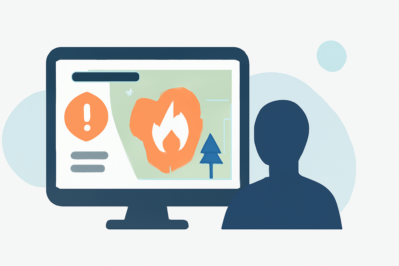
Wildfire outlooks provide vital information to help individuals plan their outdoor activities amidst potential smoke impacts. For effective use, it’s best to combine these forecasts with real-time air quality data and local weather reports to make informed, health-protective decisions.
Key Takeaways
- Understand the Air Quality Index (AQI) and its daily forecasts for actionable insights.
- Use smoke outlooks for timing outdoor ventures around air quality changes.
- Integrate local weather forecasts for a comprehensive approach to planning.
- Be prepared for variable conditions; always prioritize health and safety.
How are Wildfire Outlooks Structured?
Wildfire outlooks typically give a broad view of expected conditions, including smoke movement and air quality impacts. The forecasts usually breakdown air quality into manageable sections, frequently segmented into six-hour blocks to make it easier for individuals to schedule outdoor activities in cleaner air periods. It’s essential to recognize that these are probability-based tools rather than precise predictions.
What is the Air Quality Index (AQI)?
The AQI is a crucial tool in assessing whether the air quality is safe for outdoor activities. Daily AQI forecasts depict the 24-hour average concentration of PM2.5 (fine particulate matter) and can guide users on when it is optimal to be active outside. Regularly checking the AQI can help you time your errands and outdoor activities better, especially during wildfire events. (EPA)
Using Smoke Outlooks to Your Advantage
When large wildfires are present, smoke outlooks predict air quality in short blocks. This allows individuals to plan necessary activities around expected changes in air quality. By paying attention to these predictions, you can minimize exposure during worse air quality periods. Each forecast is a guidance tool, so always exercise caution and flexibility in your plans. (EPA)
Checking Real-time AQI
In addition to forecasts, real-time data gives the most accurate picture of current air quality conditions. The Fire and Smoke Map integrates current AQI readings, smoke plumes, and available forecasts to inform decision-making about outdoor activities. Users should pay attention to real-time updates alongside forecasts to ensure they stay safe. (AirNow)
What Limits Should You Be Aware Of?
While wildfire forecasts and AQI maps are essential for planning, they have limitations. Models can't predict sudden changes in wildfire conditions or air quality. It’s crucial to use your judgment; if conditions feel unsafe or symptoms arise (like coughing or shortness of breath), it’s best to limit outdoor exposure. Always combine insights from these tools with personal health guidelines. (EPA)
The Importance of Common Sense
Even with reliable forecasting tools, it’s important to utilize common sense when assessing conditions. Symptoms like coughing or wheezing are critical indicators that it’s time to reduce exposure, even if forecasts depict lower levels of pollution. Always prioritize health over predictions. (EPA)
What We Recommend
- Regularly consult AQI forecasts and real-time updates for informed outdoor planning.
- Use smoke outlooks to time your activities, aiming for scheduled errands during cleaner air periods.
- Continuously monitor local weather conditions to adapt your plans as necessary.
- Employ common sense; prioritize your health and err on the side of caution.