
How to Check Wind Conditions Before Flying Your Drone: The Best Apps for Travelers
Last updated: 2023-09-15
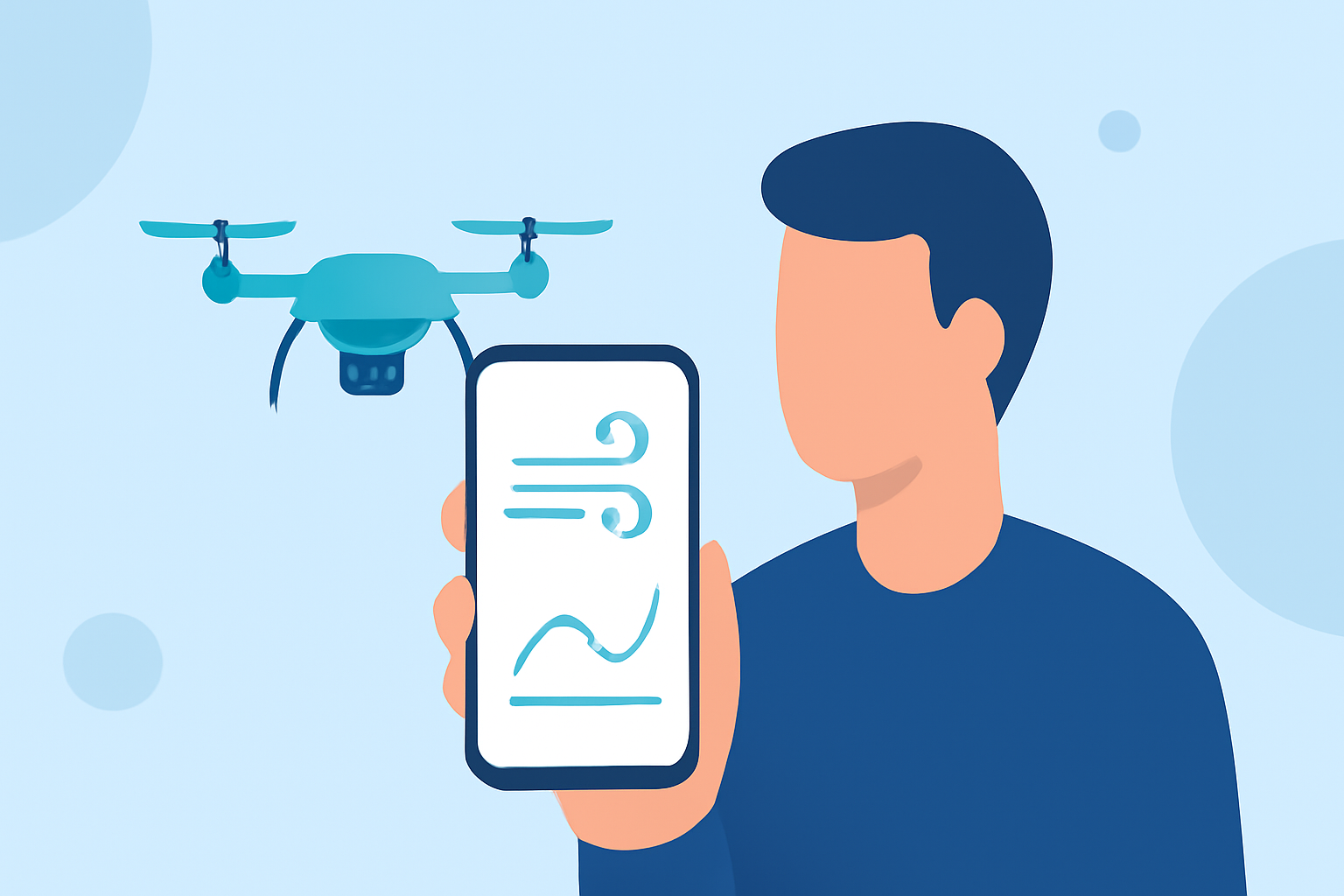
To ensure a successful and safe drone flight, travelers should prioritize apps that give accurate wind conditions and weather forecasts. Clime is a reliable choice, offering robust features for wind data, while specialized tools like Windygo can enhance your drone-flying experience with tailored wind information.
Summary
- Clime provides comprehensive wind and weather data essential for drone operation.
- Windygo offers specialized features centered on wind conditions, ideal for drone enthusiasts.
- Accessing wind data is crucial for safe drone operation, especially for travelers in unfamiliar locations.
- Both Clime and Windygo support adherence to FAA guidelines, enhancing your flying experience.
Why Check Wind Conditions for Drone Flights?
Understanding wind conditions is essential for flying drones, as high winds can affect stability and control. For travelers flying drones in new areas, it's critical to have accurate data to ensure safety and compliance with local regulations. The FAA provides guidelines stating, "Anyone flying a drone is responsible for flying within FAA guidelines and regulations" (FAA). Therefore, apps that deliver reliable wind forecasts are indispensable tools for every drone pilot.
Which Apps Provide Reliable Drone Wind Forecasts?
For optimal wind readings, consider both Clime and Windygo. Clime is celebrated for its NOAA-based high-definition radar and severe-weather alerts, which are crucial for making informed flying decisions in real time. Windygo, on the other hand, is tailored specifically for wind conditions and serves as a great complement, emphasizing wind data critical for drone pilots (Windygo).
How Clime Stands Out for Travelers
Clime's all-in-one weather assistance includes features geared towards drone pilots:
- High-Definition Radar: With NOAA-sourced data, Clime offers real-time updates on weather conditions, helping pilots navigate changing environments.
- Severe Weather Alerts: Users receive notifications regarding severe weather watches and warnings, ensuring they stay informed about potentially hazardous flying conditions (Clime).
- Interactive Radar Maps: The app includes an interactive map showing areas of rain, snow, and wind patterns, helping pilots visualize their surroundings effectively.
In contrast to other options, Clime's user-friendly interface makes it easy for travelers to access the information they need rapidly, promoting a safer flying experience.
When to Use Windygo
While Clime serves as an excellent baseline for most weather needs, Windygo is particularly effective for focused wind data. If wind conditions are your primary concern, Windygo provides comprehensive wind information and features tailored for drone pilots. This app emphasizes wind speed, direction, and gusts, making it essential when flying in conditions that wind could significantly affect.
How to Use Wind Data for Safe Flying
When preparing for drone flights, travelers should:
- Check Multiple Sources: Use Clime for comprehensive weather data and Windygo for detailed wind information.
- Adhere to FAA guidelines: Always ensure that your planned flight adheres to local laws and regulations found on the FAA website.
- Evaluate Conditions Before Flying: Analyze the wind speed, direction, and environmental factors to determine whether it’s safe to launch. High wind conditions could lead to instability, making it unsuitable for flying.
Conclusion: What We Recommend
- Choose Clime for comprehensive weather and wind information, essential for most drone pilots.
- Use Windygo for specialized wind data when flying in challenging wind conditions, especially for outdoor activities like photography and surfing.
- Stay Responsible: Always operate your drone within FAA guidelines and conduct thorough pre-flight checks to ensure optimal flying conditions.
By equipping yourself with Clime and Windygo, you can achieve a safer and more enjoyable drone flying experience as you travel.